Full multi-core performance
Ultimate Pro uses all processor cores simultaneously and makes particularly effective use of your system's available processing power.

Vasco StreetMaps 15 – Easy to understand. Convenient to use. Beautifully designed.
With Vasco StreetMaps 15 Ultimate Pro, you can create individual maps for travel videos, route animations, presentations, printed materials and many other projects. You choose the map area, size and overall appearance – from roads and place names to colours, fonts, areas and reliefs. The result is a map that perfectly suits your journey and your story.

Vasco StreetMaps is an especially powerful companion to Vasco da Gama route animations: design the perfect map stage yourself and present your journey in an impressive way.
When your maps become larger, more detailed and more demanding, Vasco StreetMaps 15 Ultimate Pro truly comes into its own. The most powerful edition uses all of your system's processor cores simultaneously, drawing on significantly more of the available processing power – ideal for extensive map areas, high levels of detail and large volumes of data.
Best of all, you use Vasco StreetMaps just as you always have. The additional processing power is put to work automatically in the background – with no special setup or specialist knowledge required. With 4,526,205 GPS entries, you can also find considerably more places, including locations away from major cities.
More performance behind the scenes. More freedom for your ideas.

Ultimate Pro uses all processor cores simultaneously and makes particularly effective use of your system's available processing power.
Extensive map areas and high levels of detail are processed faster, keeping even demanding projects flowing smoothly.
All optimisations work automatically. You work as usual, with more time for selection, design and fine-tuning.
The direct comparison shows where Ultimate Pro's additional performance reserves make the greatest difference – especially with large, detailed maps and regular use.
Choose the edition that keeps pace with your ideas: Ultimate Pro combines the highest performance in the range with 4,526,205 GPS entries. Its additional reserves are available automatically – for shorter waiting times, a smoother workflow and greater freedom when working on demanding map projects.
Vasco StreetMaps is specialist software for creating individual maps. From the supplied map data, you select precisely the geographical area you need. You then decide which content is visible and how it should look.
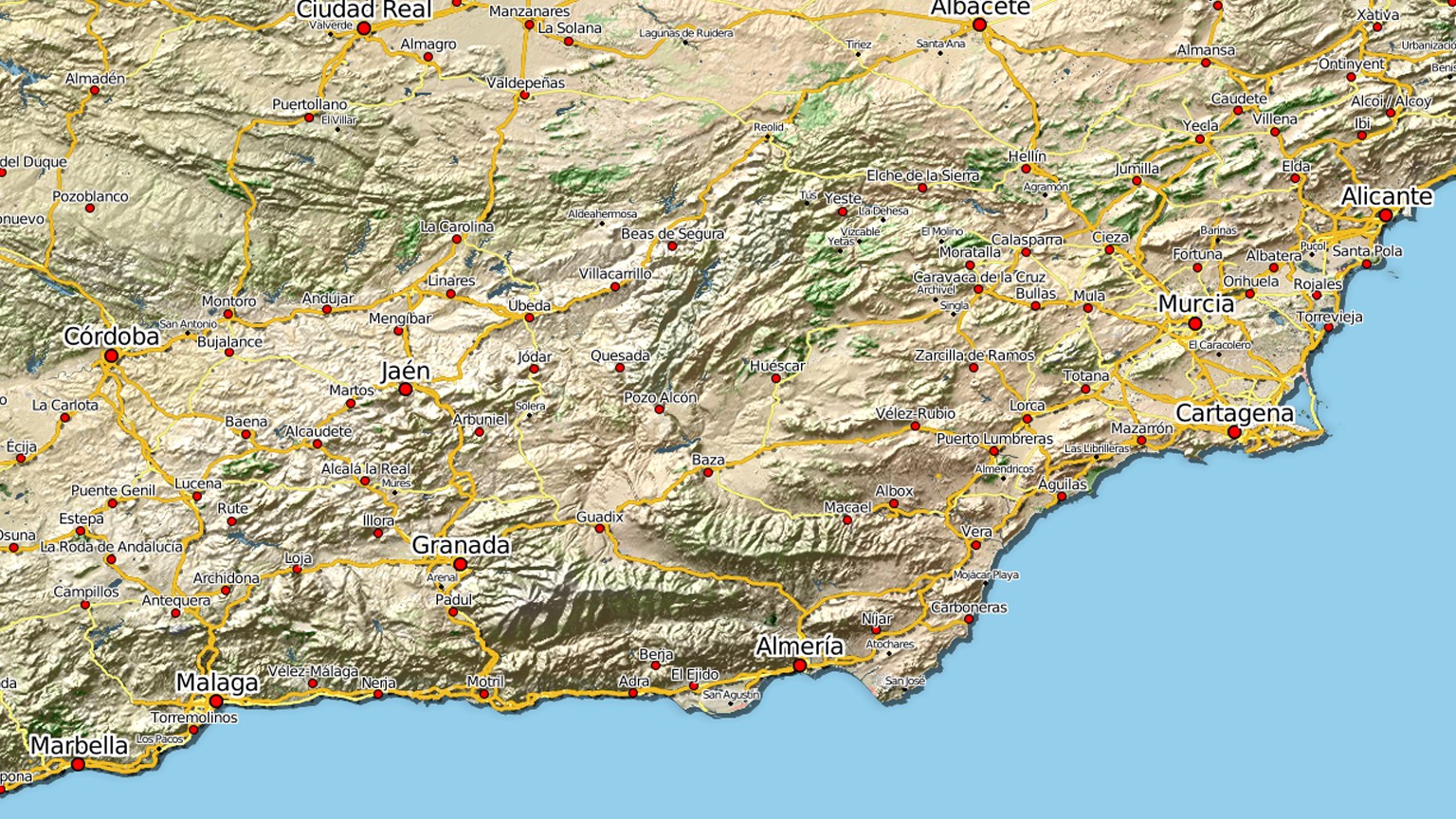
You are not simply designing a map – you are designing its impact. A factual overview can be calm and clear, a holiday map warm and inviting, and a relief map vivid and impressive. Colours, lines, fonts, symbols, roads, buildings, natural areas, water and elevations can all be combined to suit your project.
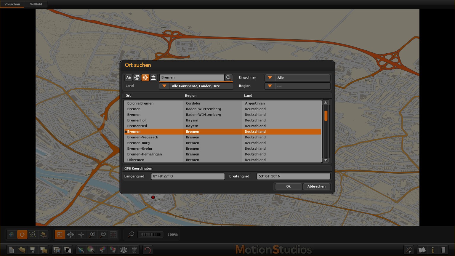
Select a place, GPS points or a GPS track.
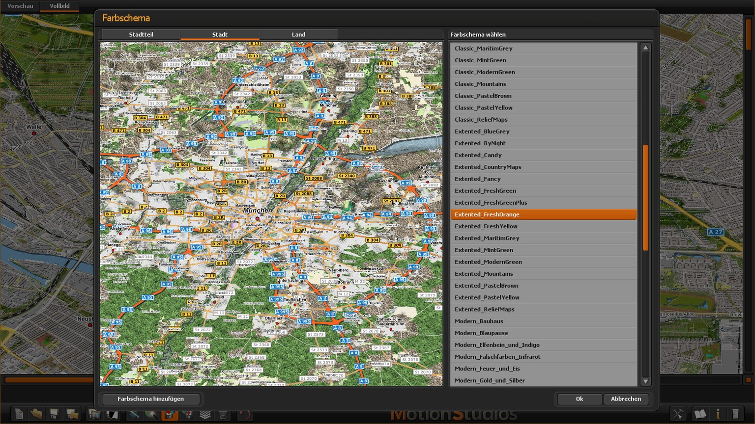
Select a preset and adapt the map style.
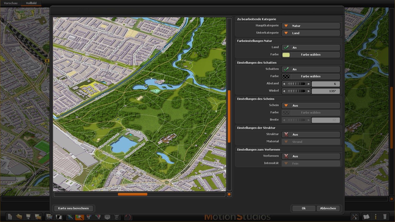
Click elements in the Magic Editor and adjust them precisely.
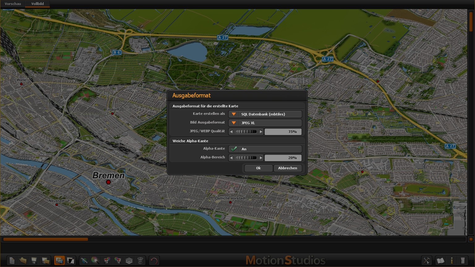
Export an image, a large map or a zoomable tiled map.
Use a ready-made design as your starting point or develop your own map style step by step. The result can be as individual as your journey.
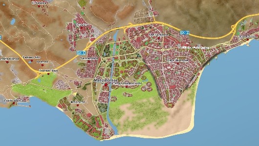
Bring places, roads, landscapes and tourist details together in a clear presentation.

Show buildings, paths, parks and sports grounds at the required scale.
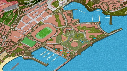
Present land, water, harbour facilities and transport routes clearly and effectively.

Calculate extensive areas in high resolution and reuse them in many different ways.
Vasco StreetMaps 15 enhances proven map design precisely where you notice the difference in everyday use: when learning the program, rediscovering a feature, using the software and combining several maps in Vasco da Gama.
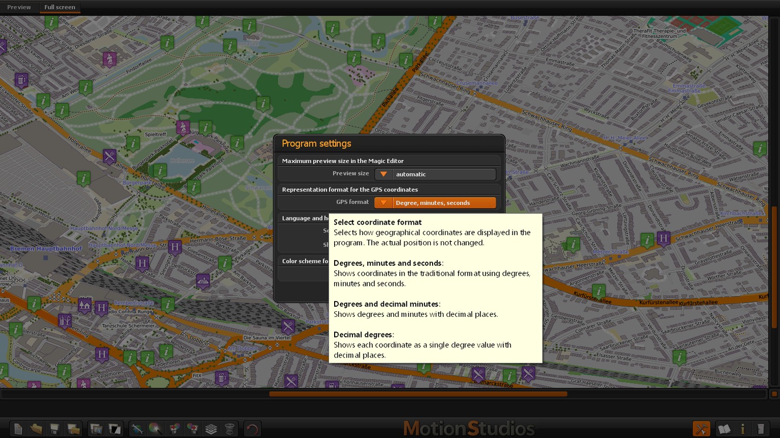
Integrated direct help explains every button exactly where you are currently working – in the main window as well as in secondary windows. Simply leave the mouse pointer over a control briefly and the relevant explanation appears.
You learn what the function is intended for, which values are possible, how a change affects the map and which keyboard commands are available. This makes it easier to get started and just as easy to return to the program after a longer break.
The PDF manual has been completely revised, redesigned and structured more clearly. It focuses on typical tasks: choosing the map area, finding a design, changing individual elements, calculating the map and saving it in the appropriate format.
Examples, reference images, tips, troubleshooting, a glossary and an overview of the controls help both when learning and when looking something up later. The table of contents and PDF bookmarks take you quickly to the topic you need; the manual is easy to read on screen and can be printed in A4 format.
Alongside the familiar mouse controls in Vasco StreetMaps 15, you can now control many functions with the keyboard and mouse wheel. Browse long lists conveniently, search by initial letters, or move to the beginning or end with just a few keystrokes.
Switch colour schemes (presets) directly in the large preview. In many windows, press Enter to confirm or Esc to close. This lets you use whichever form of control feels most comfortable for each task.


In the third mode – tiled map mode – Vasco StreetMaps 15 can create a soft alpha edge. The outer map edges fade gently into transparency instead of ending in a hard, rectangular border.
When the finished map is projected onto another map in Vasco da Gama, the map edges blend smoothly together. This creates a harmonious transition whose width you can adjust to suit your project.
Suitable output formats: PNG, TIFF, WebP or JPEG XL with transparency.
The improvements in convenience are complemented by new map styles and a comprehensively optimised technical foundation.
The selection grows to a total of 57 presets. Every template can be modified, saved and reused for other projects.
Numerous new and updated roads, buildings and other map information provide an up-to-date and detailed foundation.
The new compact data format requires only around half the previous disk space while also enabling faster access.
A new JPEG XL encoder, optimised processor instructions, faster relief calculations and improved caching and memory usage shorten many waiting times.
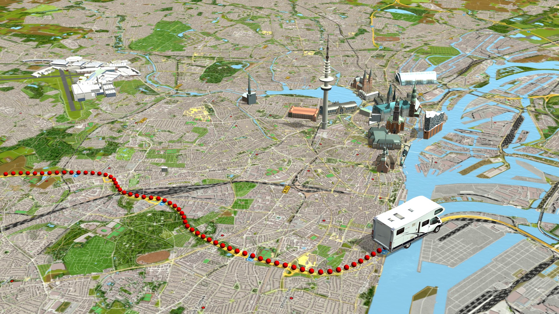
Vasco StreetMaps is an especially valuable companion to Vasco da Gama for creating individual maps. In Vasco StreetMaps, you define the appearance, area and level of detail; in Vasco da Gama, you use that map to present your travel route, stages and means of transport to impressive effect.
This ensures that the map style and travel animation truly complement one another. A warm holiday map, a clear expedition overview or a vivid relief can be prepared specifically for each film. Large tiled maps can be loaded according to the zoom level, land masks help separate land and water, and the new alpha edge creates harmonious transitions between maps.
Learn more about Vasco da Gama and creating route animations →
Vasco StreetMaps 15 works quickly, smoothly and reliably. The program calculates only the map areas actually required for your project and makes targeted use of processing power and memory. This means that even large and detailed maps can be created quickly.
Even complex relief and effect calculations are performed efficiently. All optimisations run automatically in the background – without additional settings. You spend less time waiting and have more time to design your map.



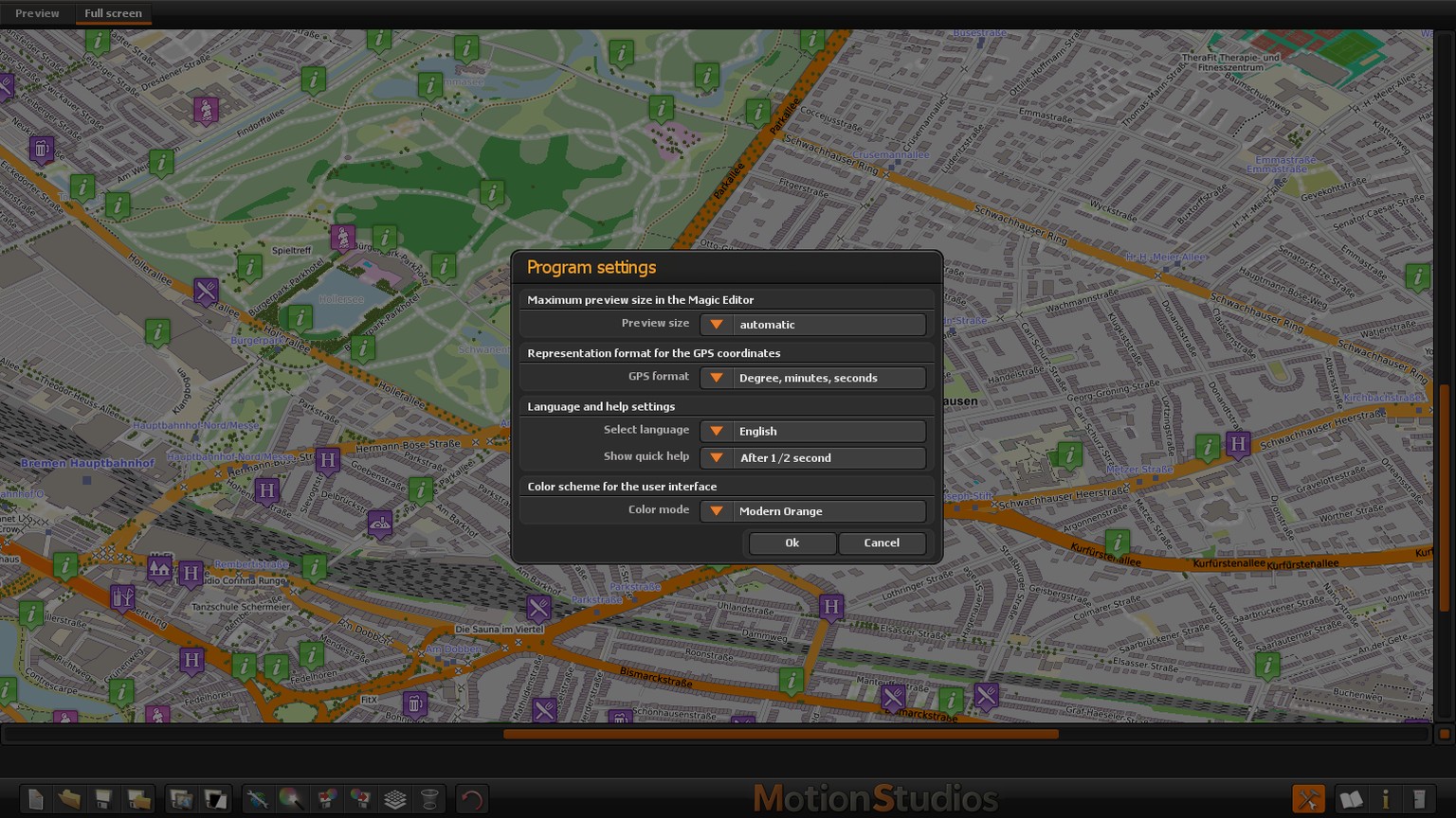
The clearly arranged interface offers a modern colour scheme and strong contrasts. Choose between the classic view and dark mode.
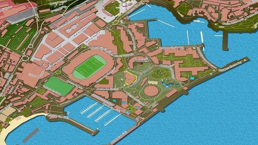
Breakwaters and boat jetties add greater depth to coastal and harbour areas and allow ships to be positioned more appropriately.
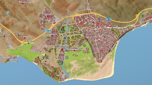
Soft transitions and natural feathering avoid hard, angular boundaries and give natural areas a more harmonious appearance.

Swimming pools, miniature golf courses, trees and rows of trees make holiday destinations and leisure facilities more illustrative and can be styled to match your own design.

The JPEG XL format requires considerably less disk space while also improving quality. Multi-threading and the smaller volume of data shorten loading and processing times.
Softer edges make forests, meadows and wooded areas appear more natural. Move the slider to compare the two map presentations directly.
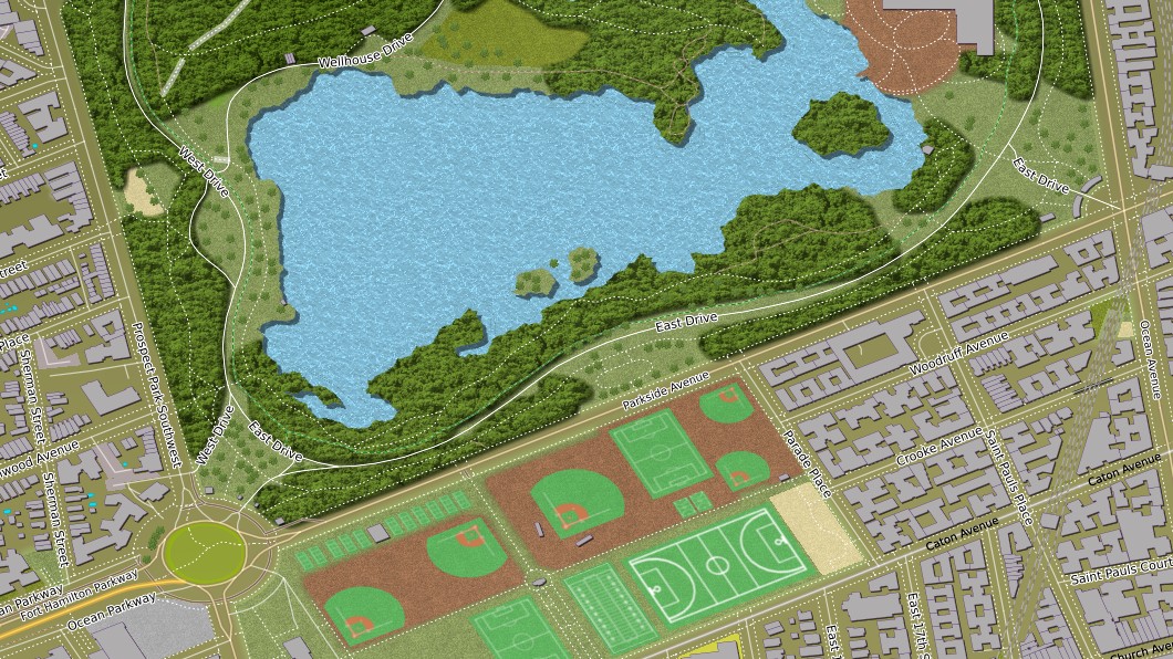
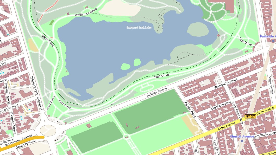
The livelier presentation removes the angular appearance of natural areas and gives travel and holiday maps a colourful, inviting atmosphere.
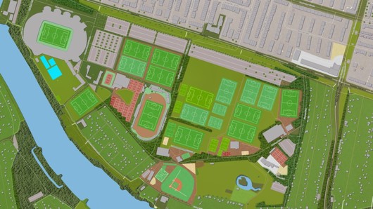
In addition to sports areas, markings can be shown for football, handball, volleyball, basketball, baseball and other sports.
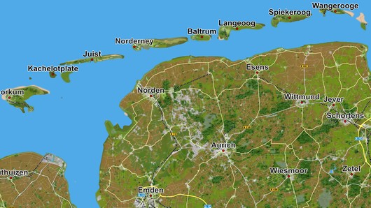
The selected language is also used for islands, lakes and other features. Point markers can additionally be placed at these locations.
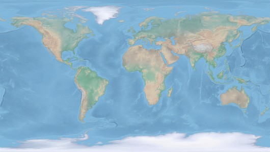
Brighter sea colours give maps a distinctive appearance and can be combined with any satellite or vector map.
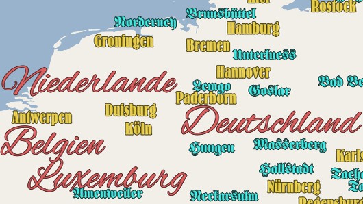
Use the fonts installed on your system – modern, futuristic, antique or Western-style – for countries, cities and other place names.
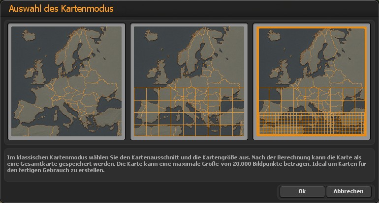
Switch between the three working modes without losing the map area or colour scheme – for example, from an individual map to a large tiled map.
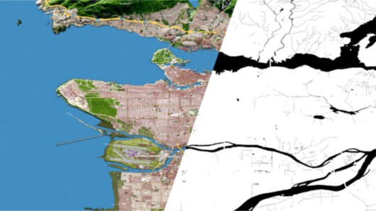
Black-and-white masks separate land and water. In Vasco da Gama, water is then simulated only on seas, lakes and rivers, while land areas remain unaffected.
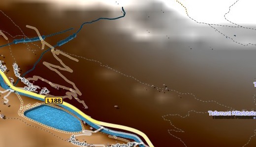
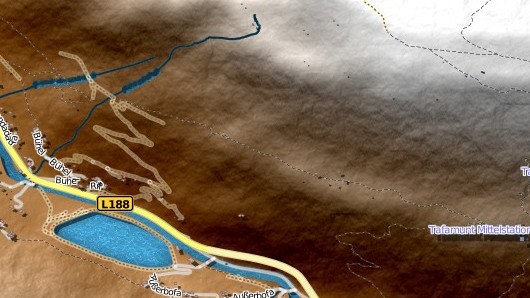
Fine structures make differences in elevation visible and give relief maps a more natural and vivid appearance.
Extensive filters and numerous GPS points from around the world help you find even smaller places. You can then use them to define the appropriate map area.

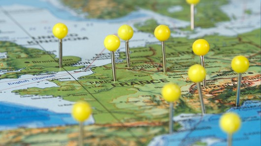
Select several points from the database. Vasco StreetMaps automatically calculates a map area that contains all the selected places.

Import your track. The required map area is calculated automatically so that it contains all GPS points in the track.
Choose between bright, colourful shades of blue, deep ocean blue with turquoise areas, or a freely selected uniform colour.
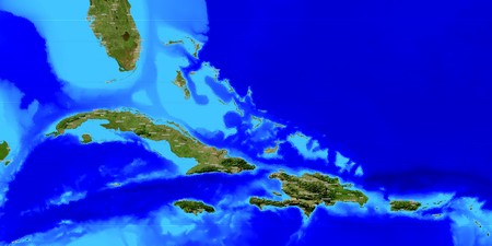
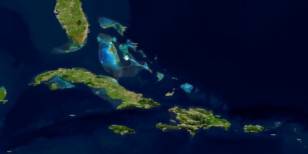
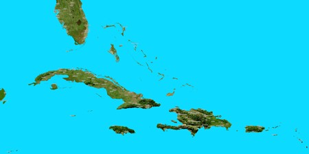
Design maps that support your story and give your projects their own distinctive character. Vasco StreetMaps 15 Ultimate Pro combines comprehensive map design with easy-to-understand help, a newly structured manual, smooth transitions for Vasco da Gama and additional performance reserves for large projects.
For your most beautiful journeys. For your own maps. For projects that remain memorable.
See how an initial map idea becomes an individual travel and route map. The following videos show typical uses of Vasco StreetMaps – from freely designing your map to combining it with Vasco da Gama.
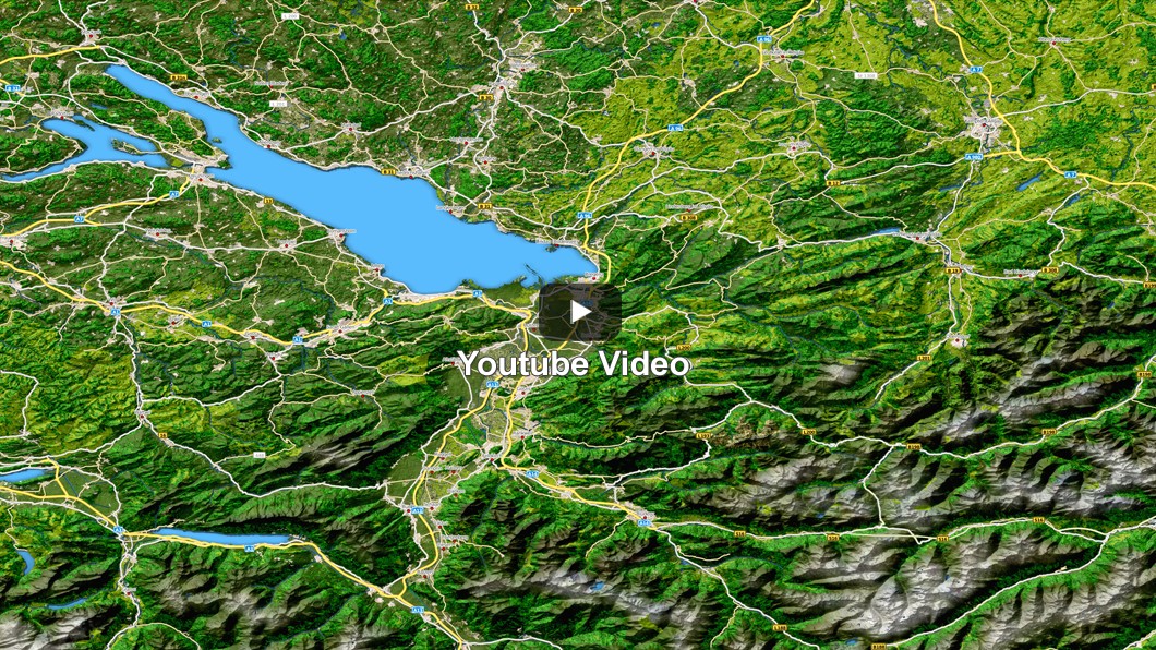 Watch video
This product video provides a quick overview of selecting, designing and exporting your own maps. Although the user interface has since been modernised, the video still illustrates the fundamental workflow very clearly.
Watch on YouTube →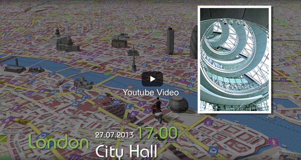 Watch video
An individually designed map of London becomes the stage for a romantic travel animation in Vasco da Gama. This example shows how precise route guidance and personal map design work together.
Watch on YouTube →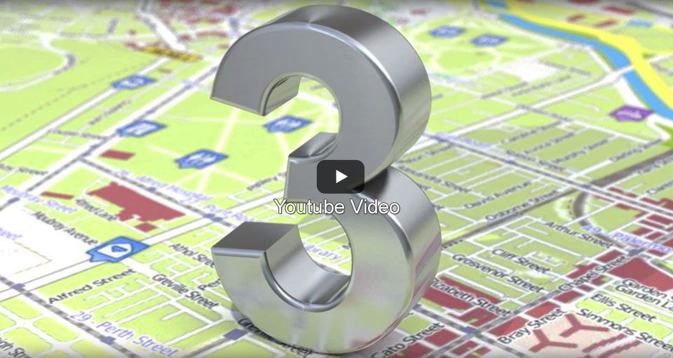 Watch video
Discover how maps can be designed individually and then edited further in a graphics program without losing the embedded geographical information.
Watch on YouTube →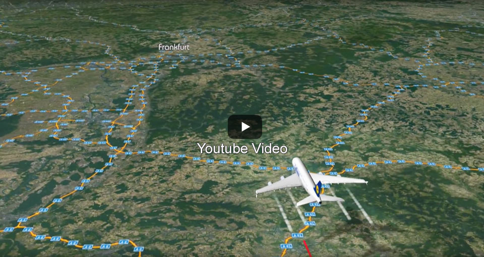 Watch video
Different map areas, resolutions and transparency settings provide the appropriate level of detail for stages travelled by plane, car and on foot.
Watch on YouTube → Watch video
From an entire continent to a high-resolution street map: this example shows how flexibly you can define the map scale and level of detail.
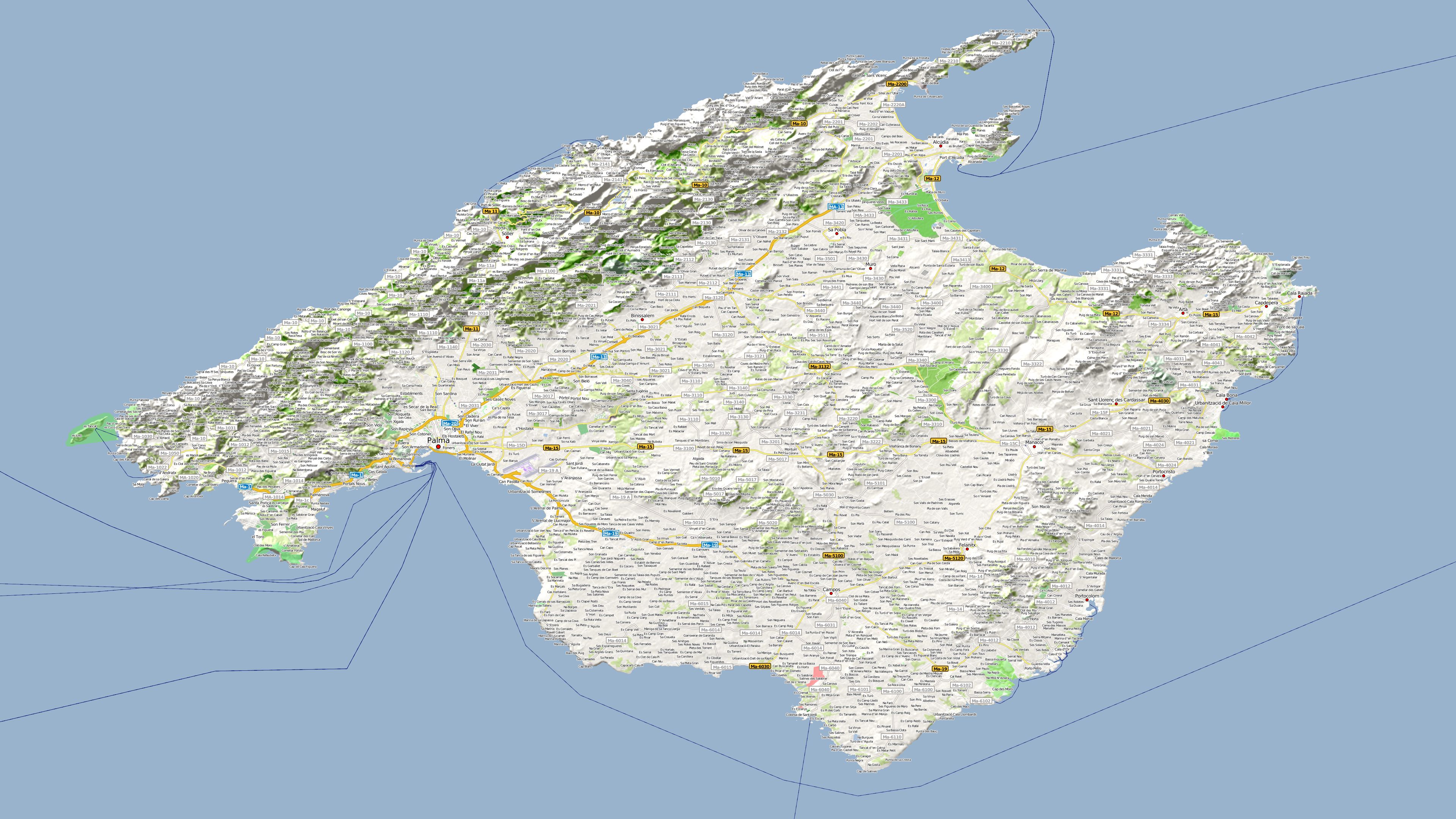
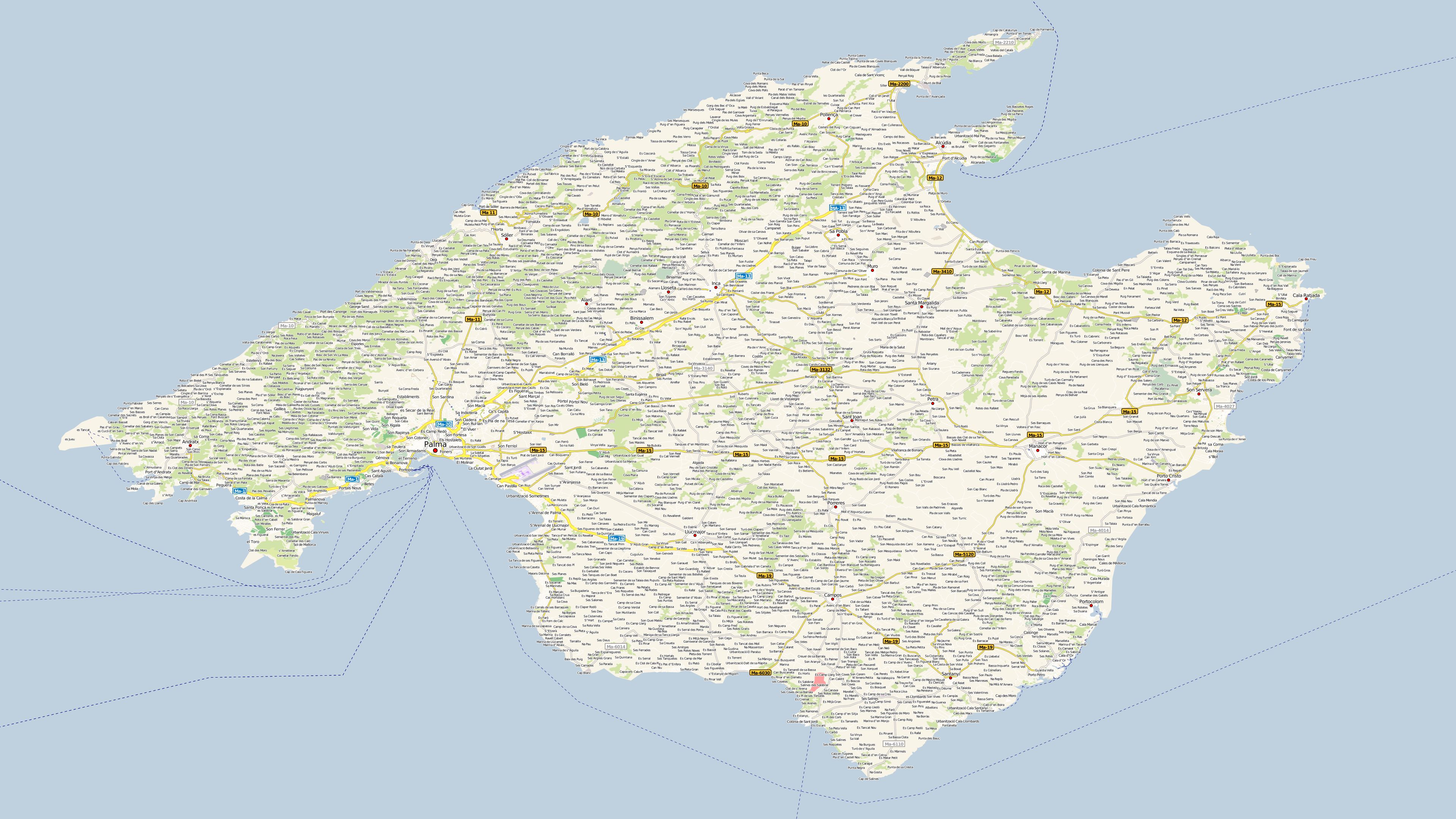
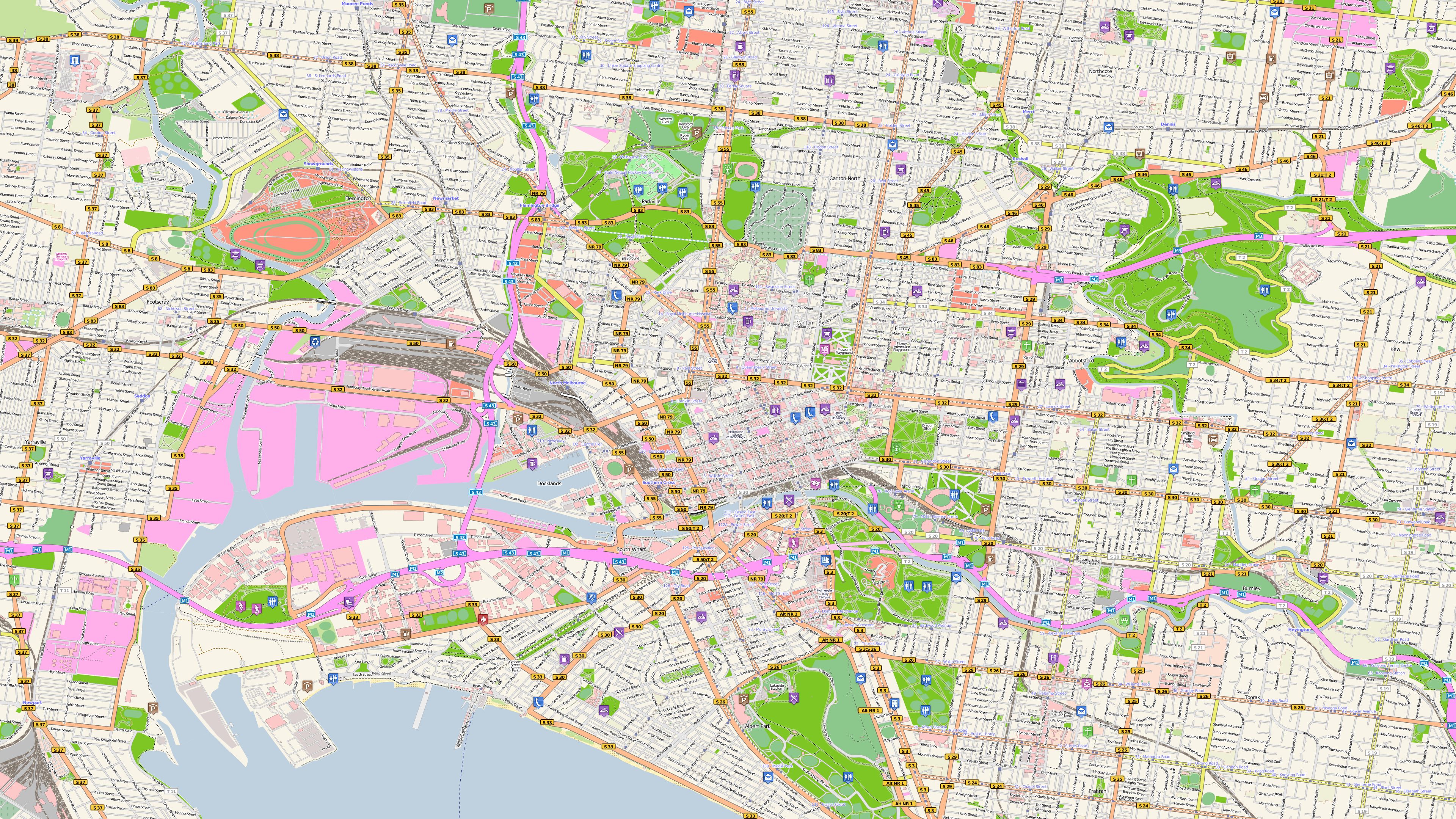
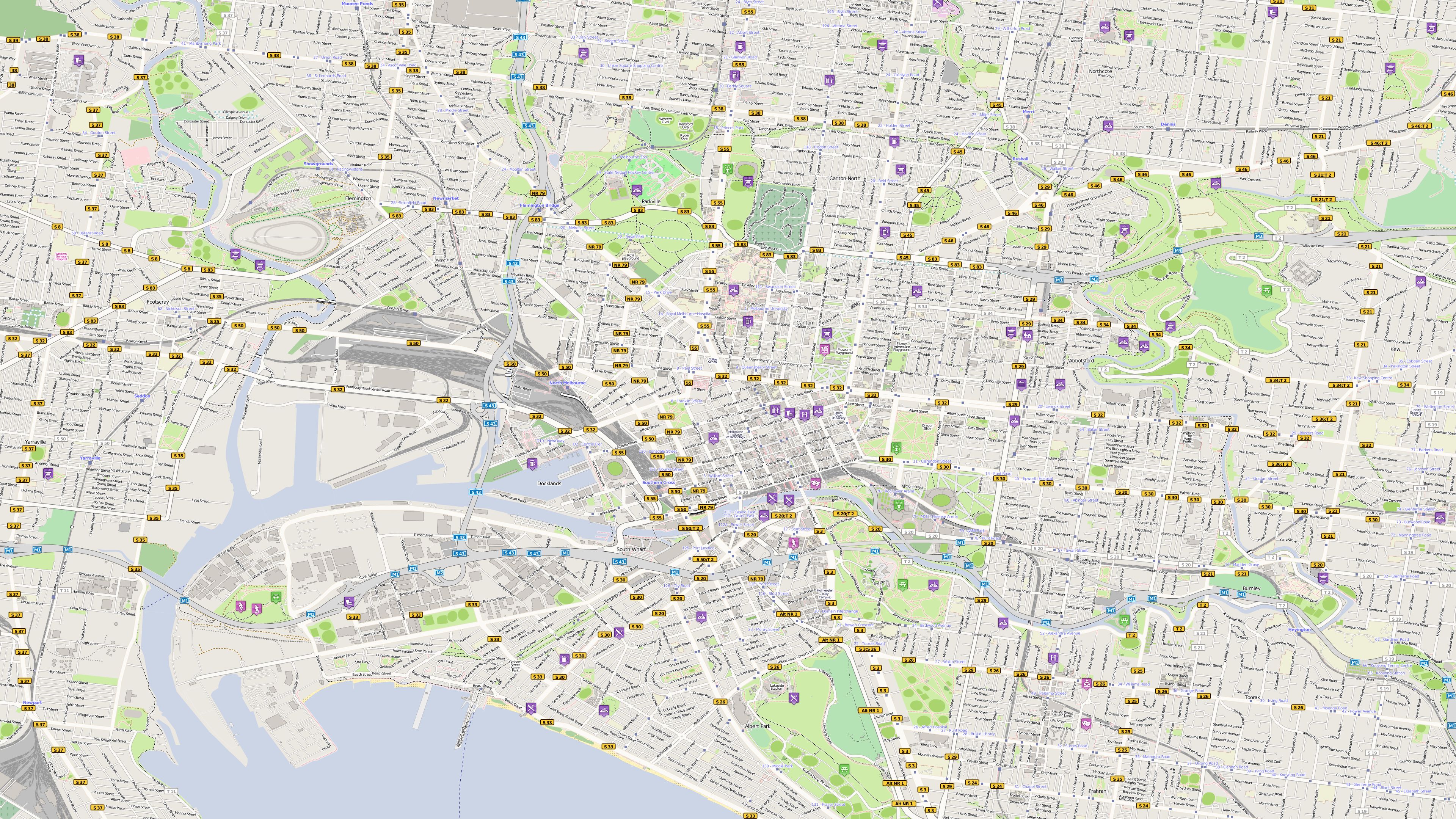
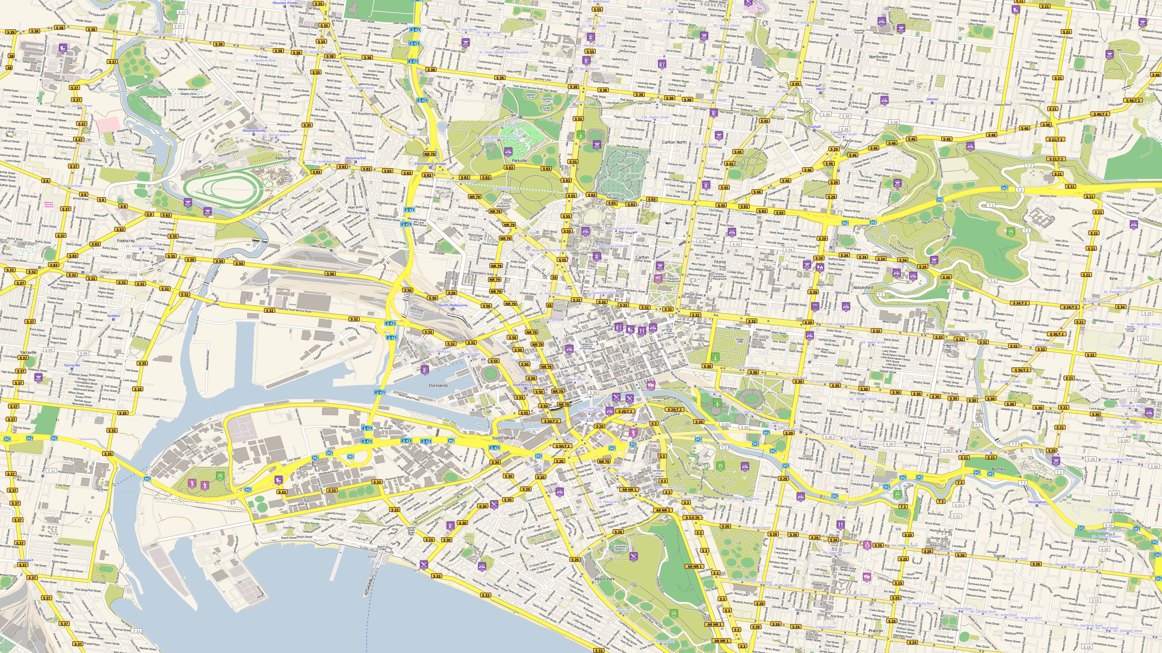
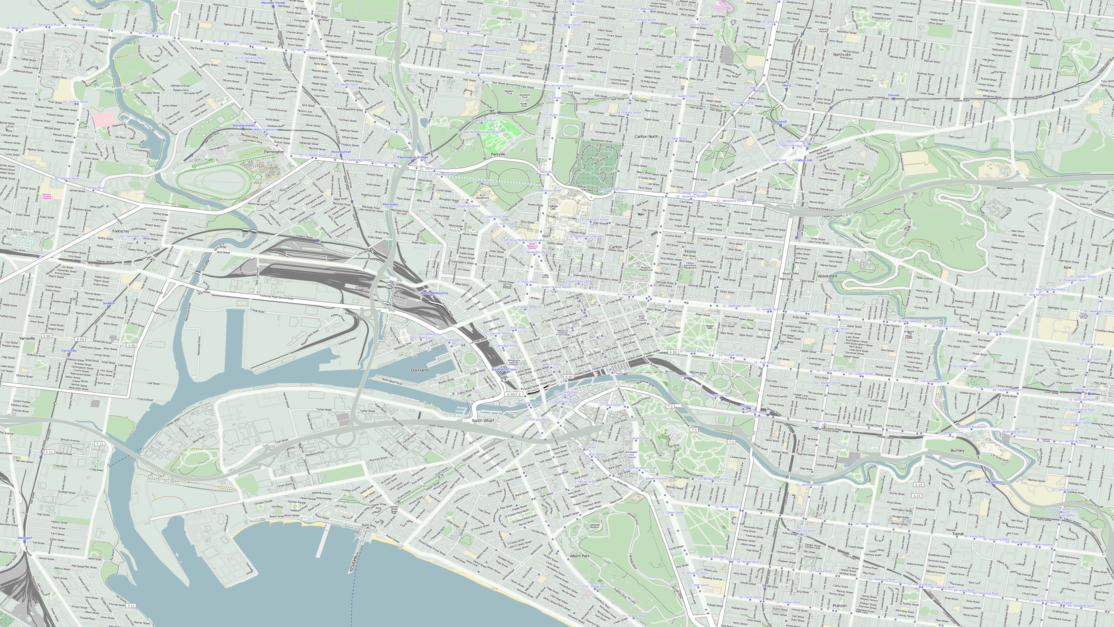
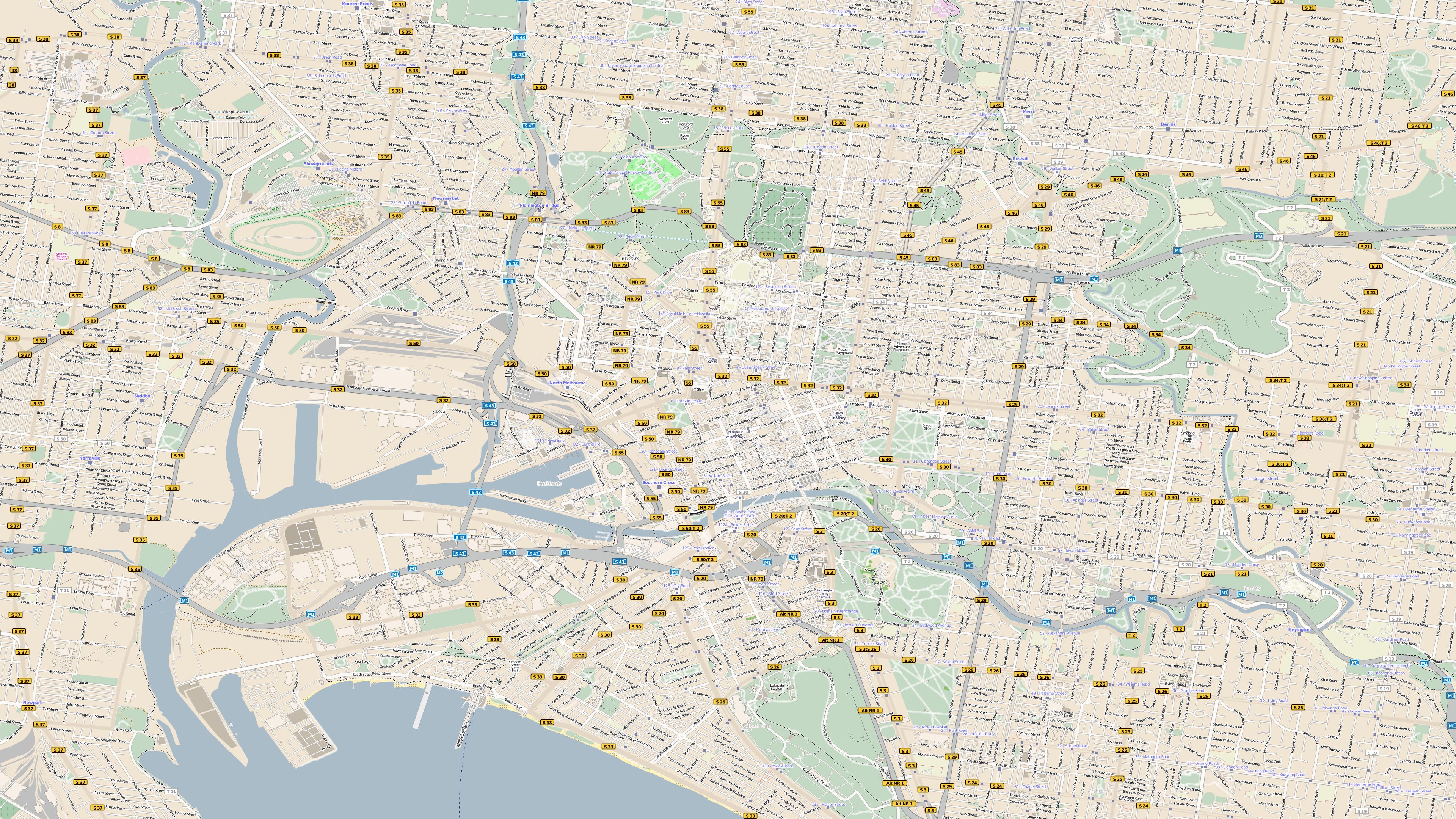
Watch on YouTube →From clear street maps and detailed city plans to vivid relief and satellite maps: these examples show just how versatile your map designs can be. Colours, labels and combinations of data can all be tailored to suit your project.
The preview images are compressed for faster loading. Click a map to open the high-resolution full-size image in a new window.
From a detailed city centre to an expansive landscape, these maps show the many ways in which travel destinations can be presented.
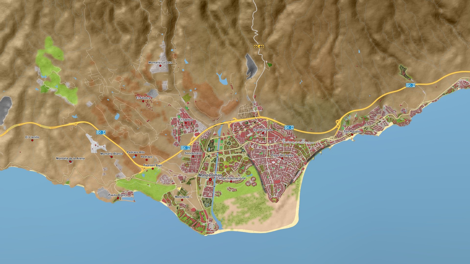
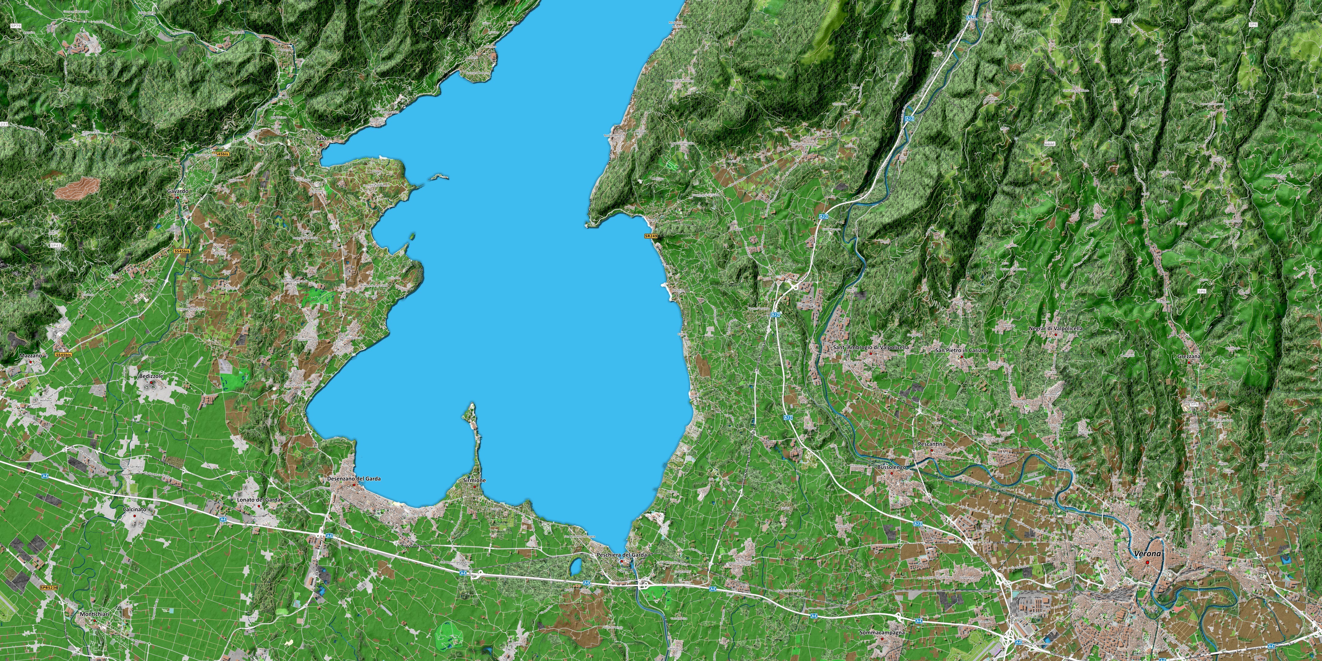
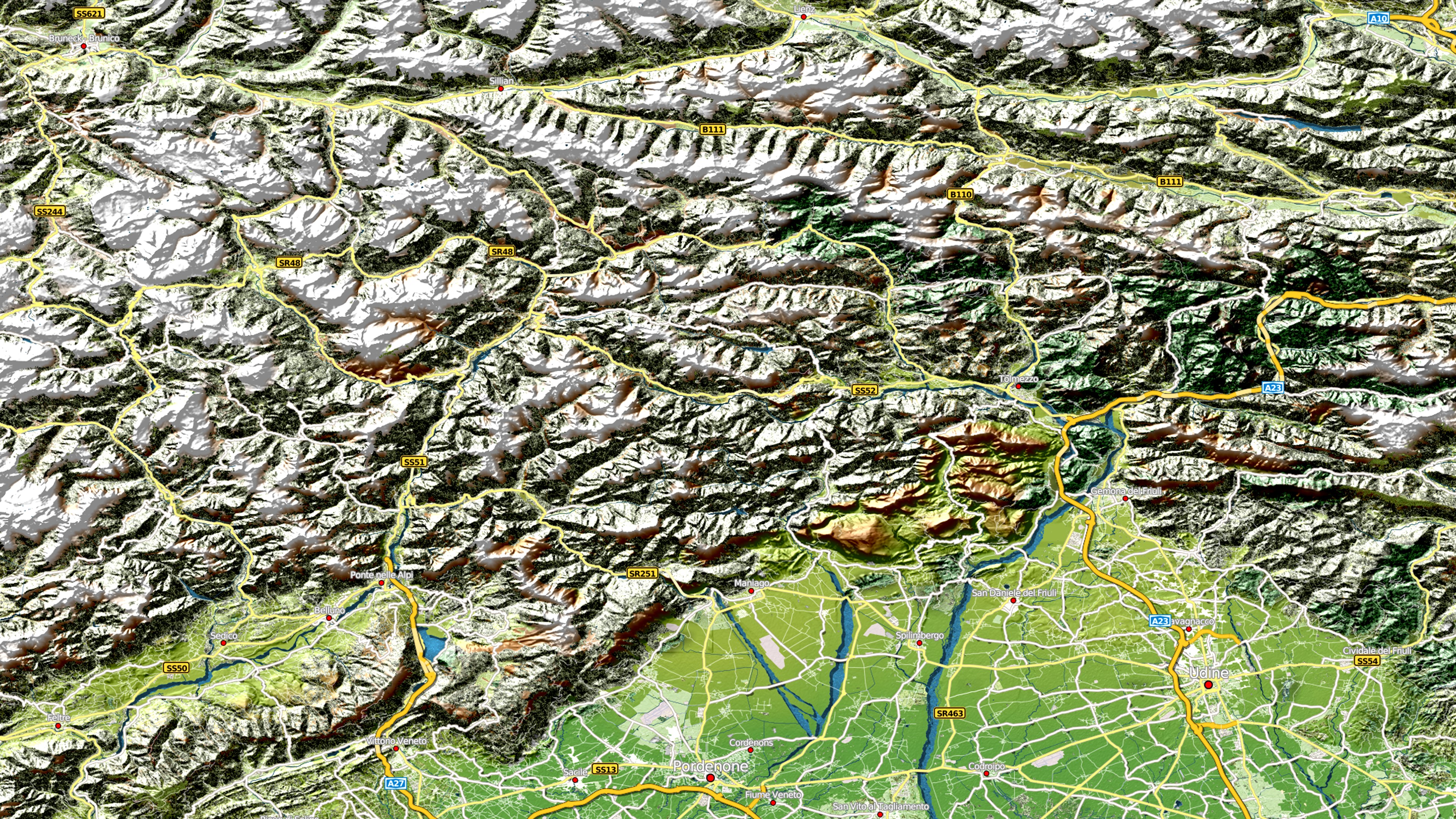
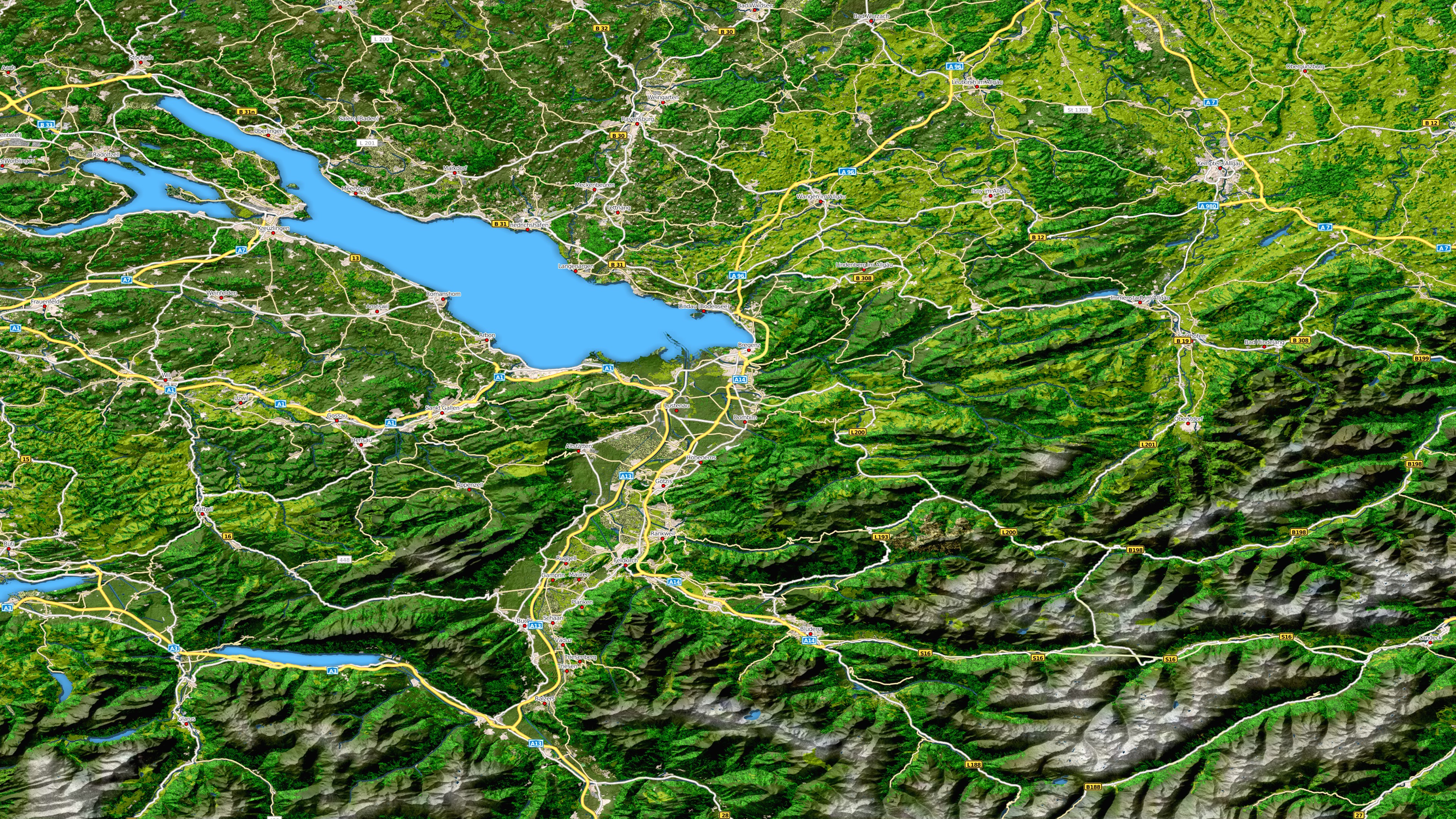
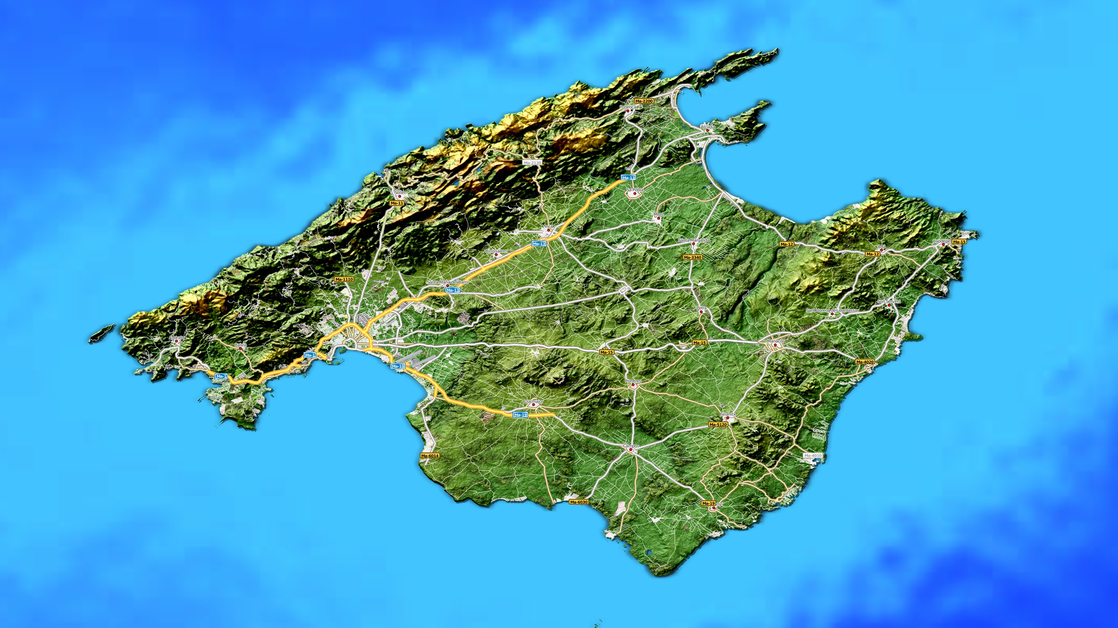
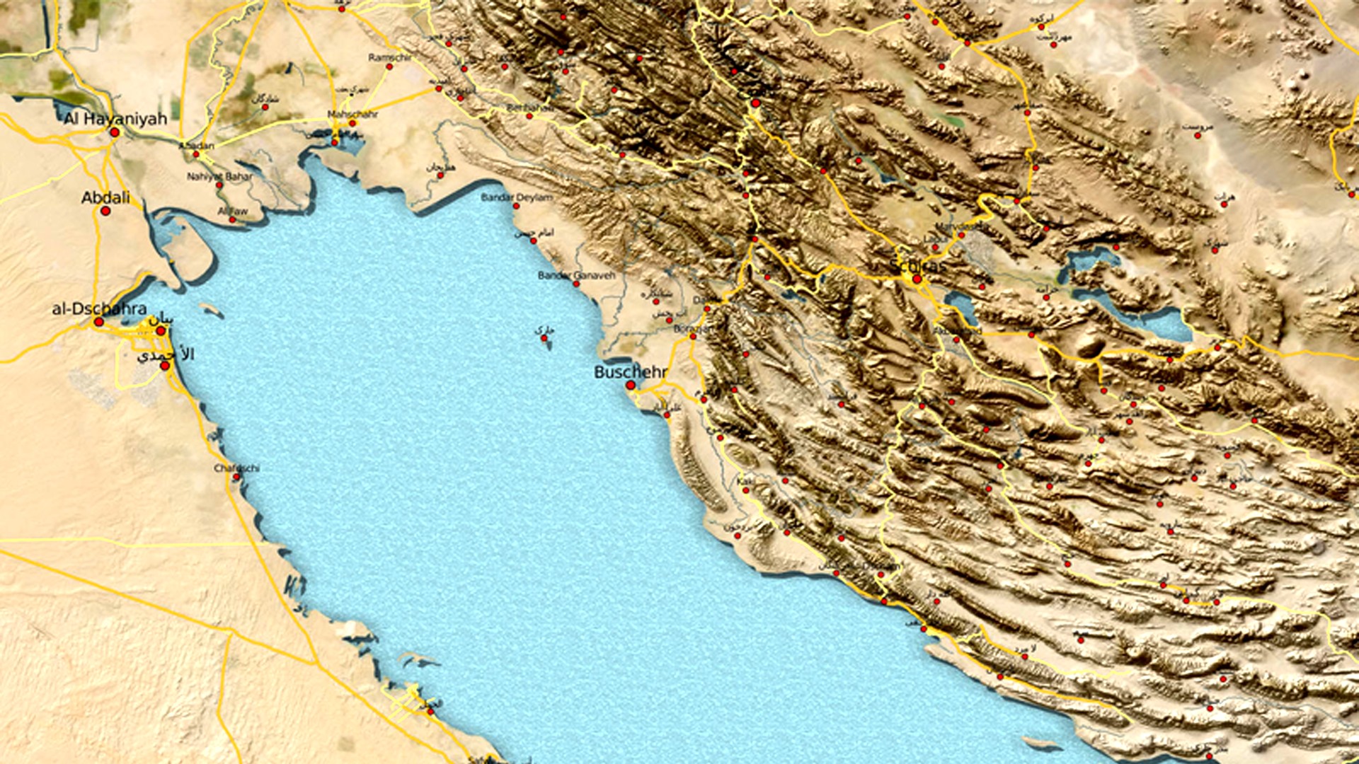
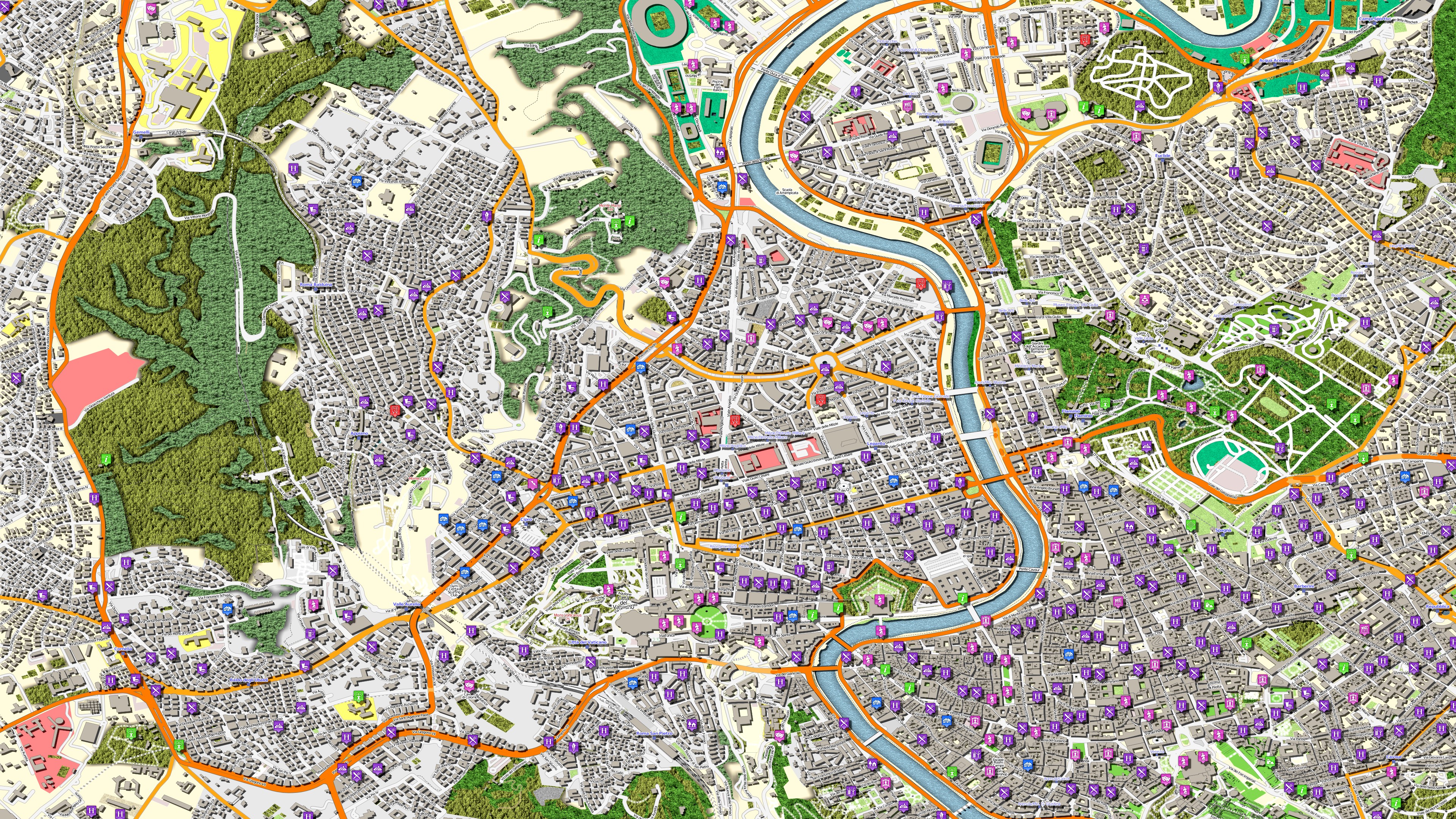
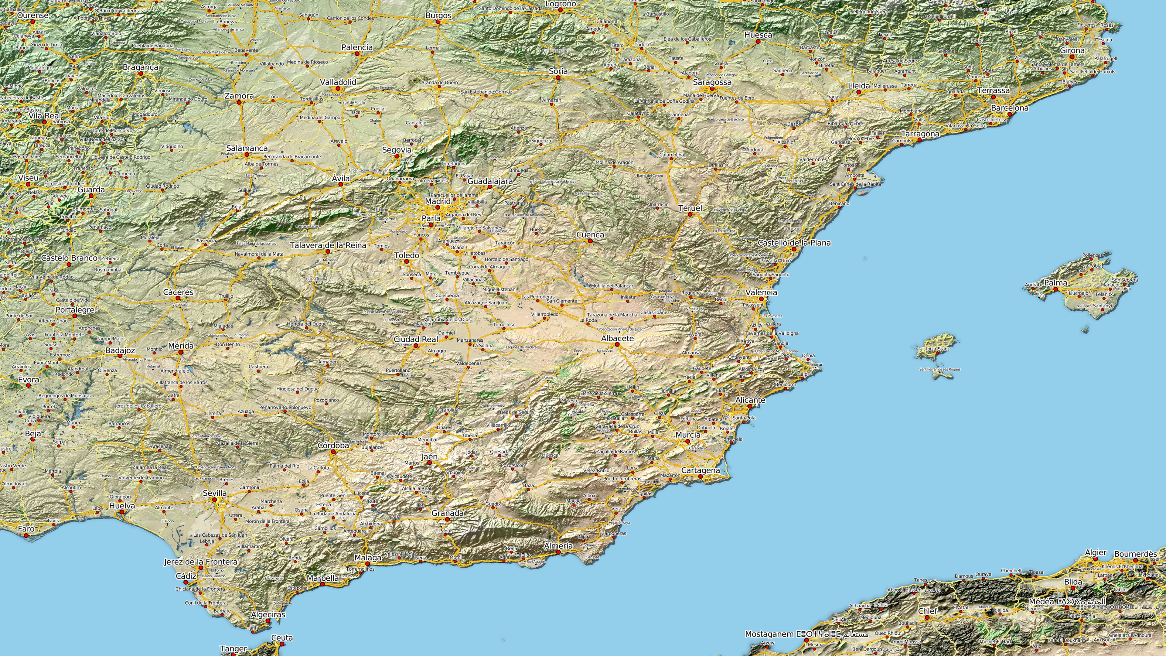
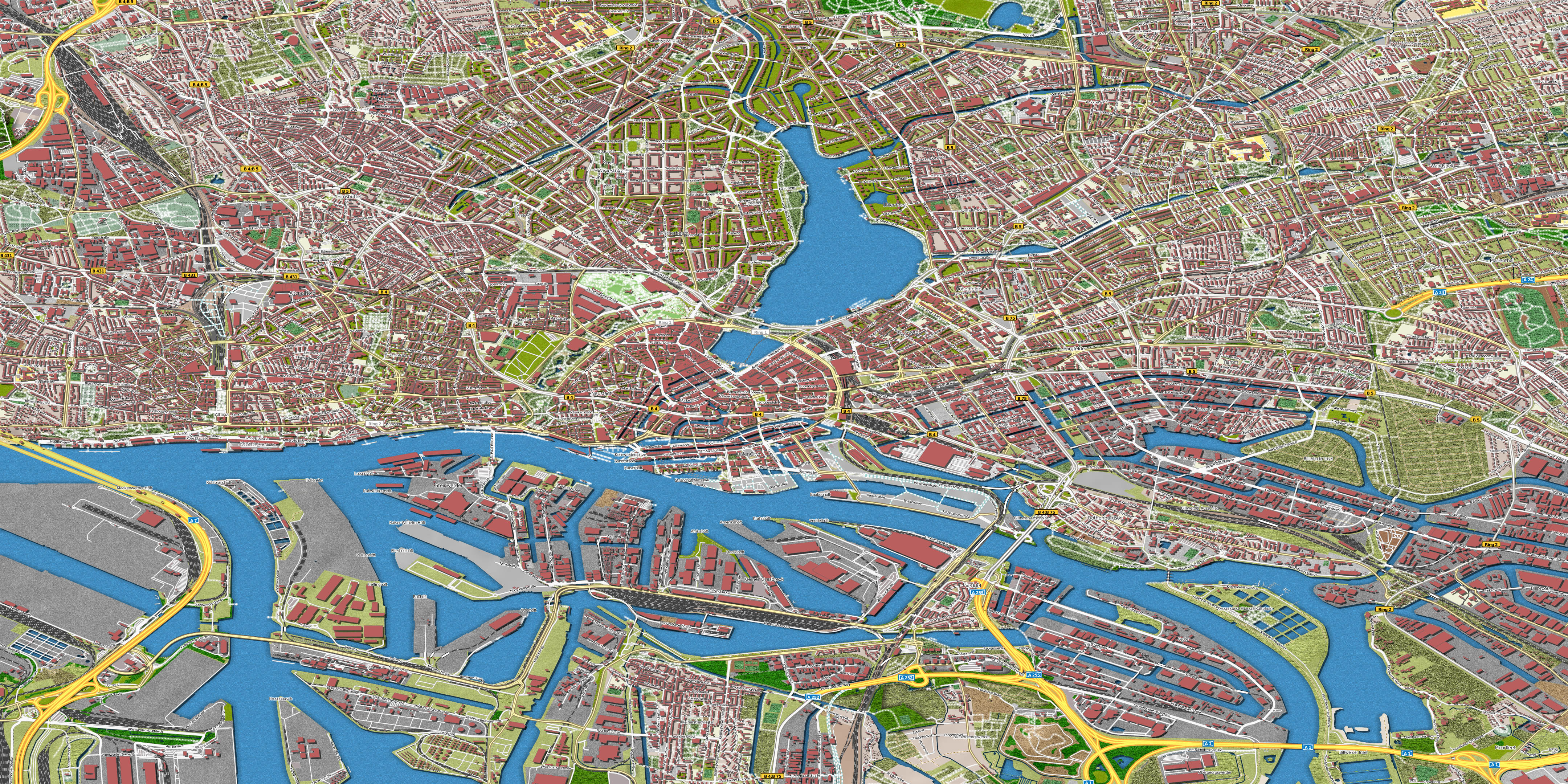
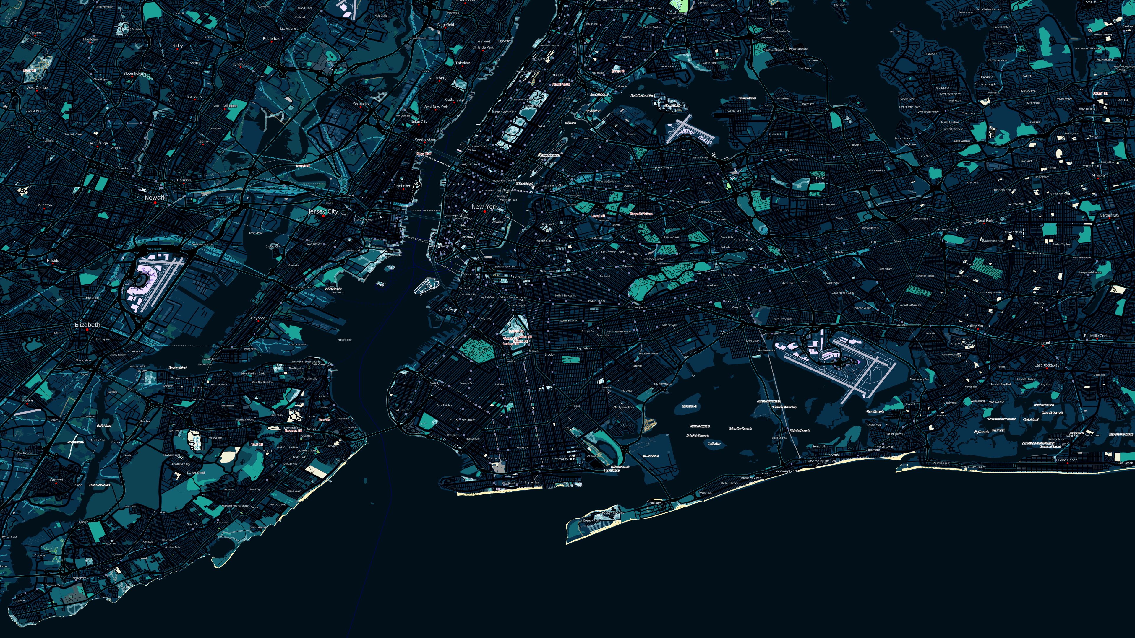
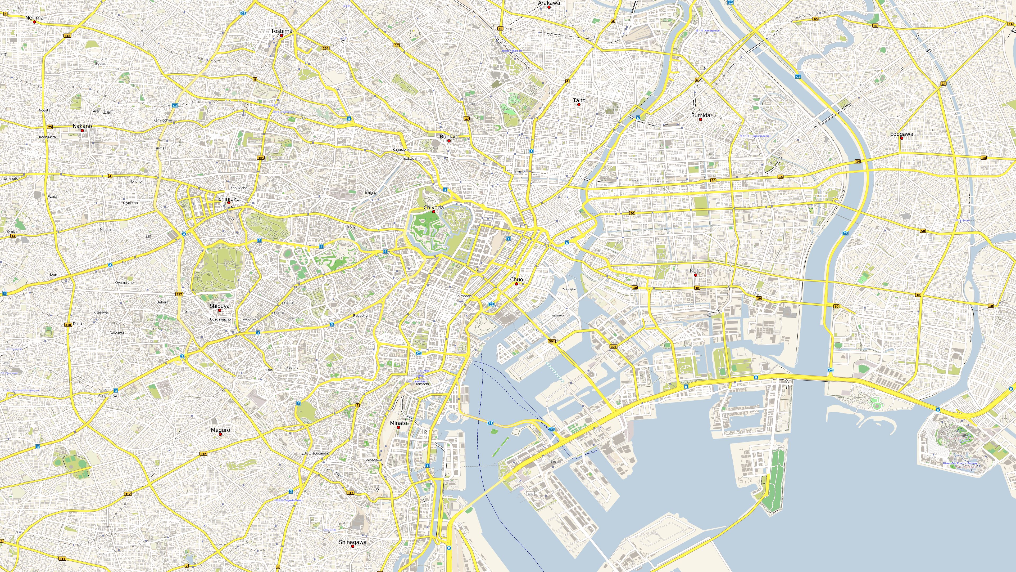
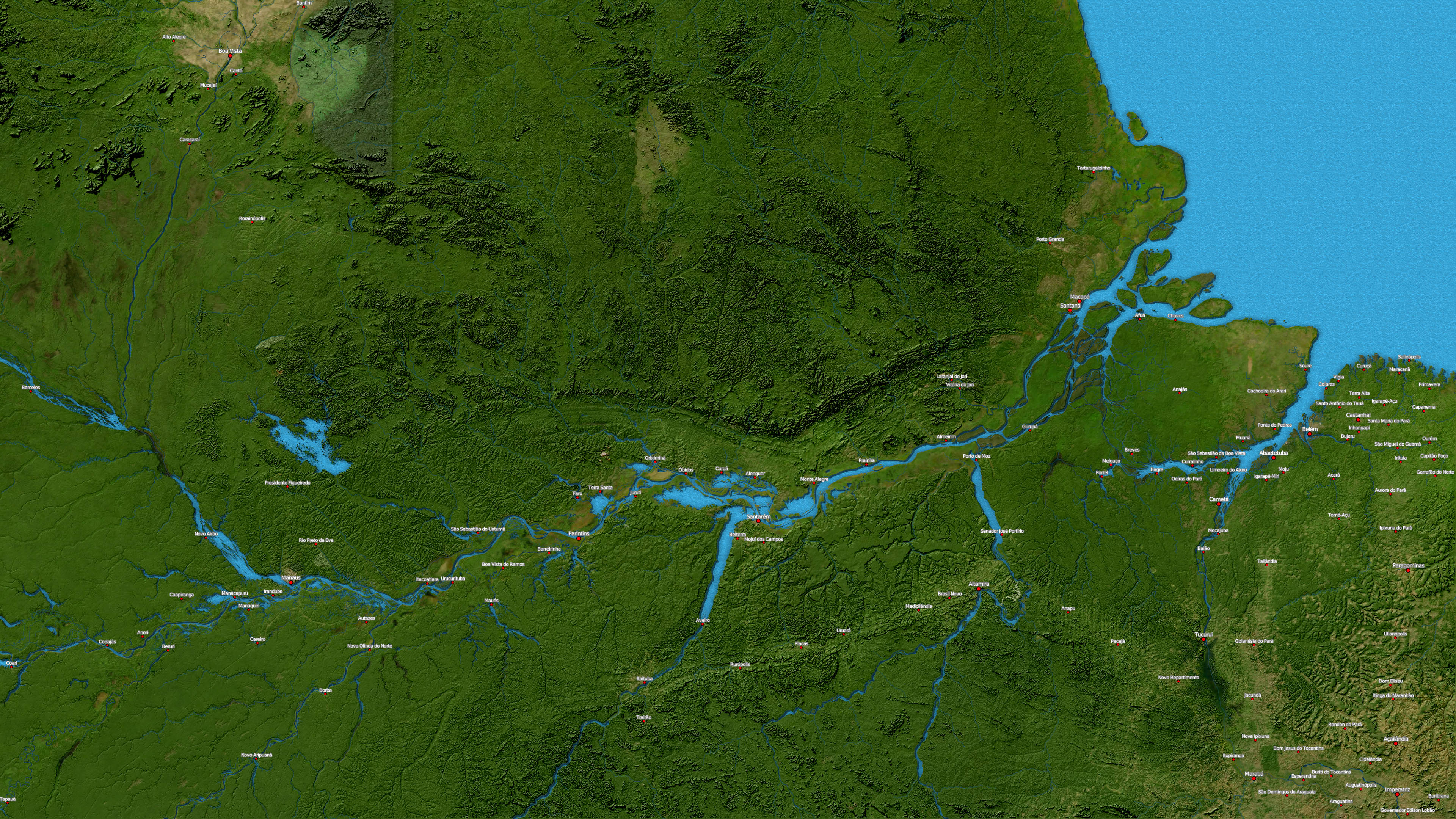
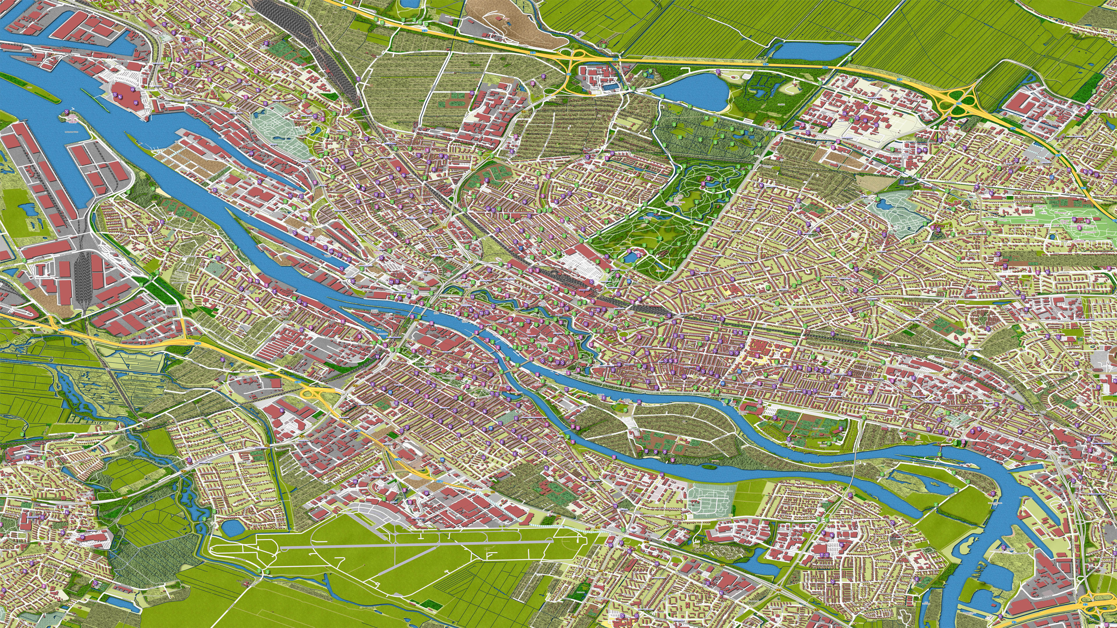
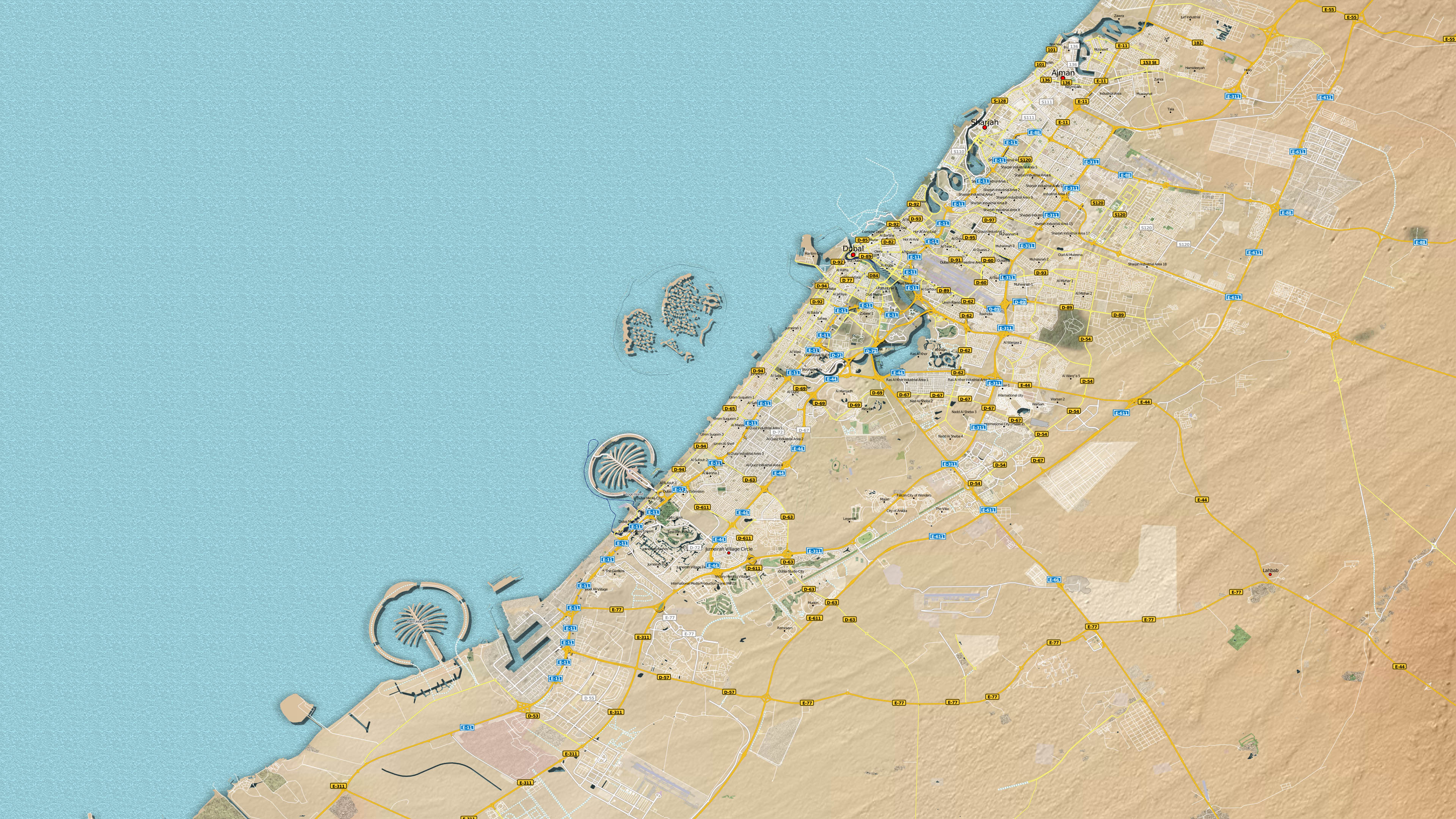
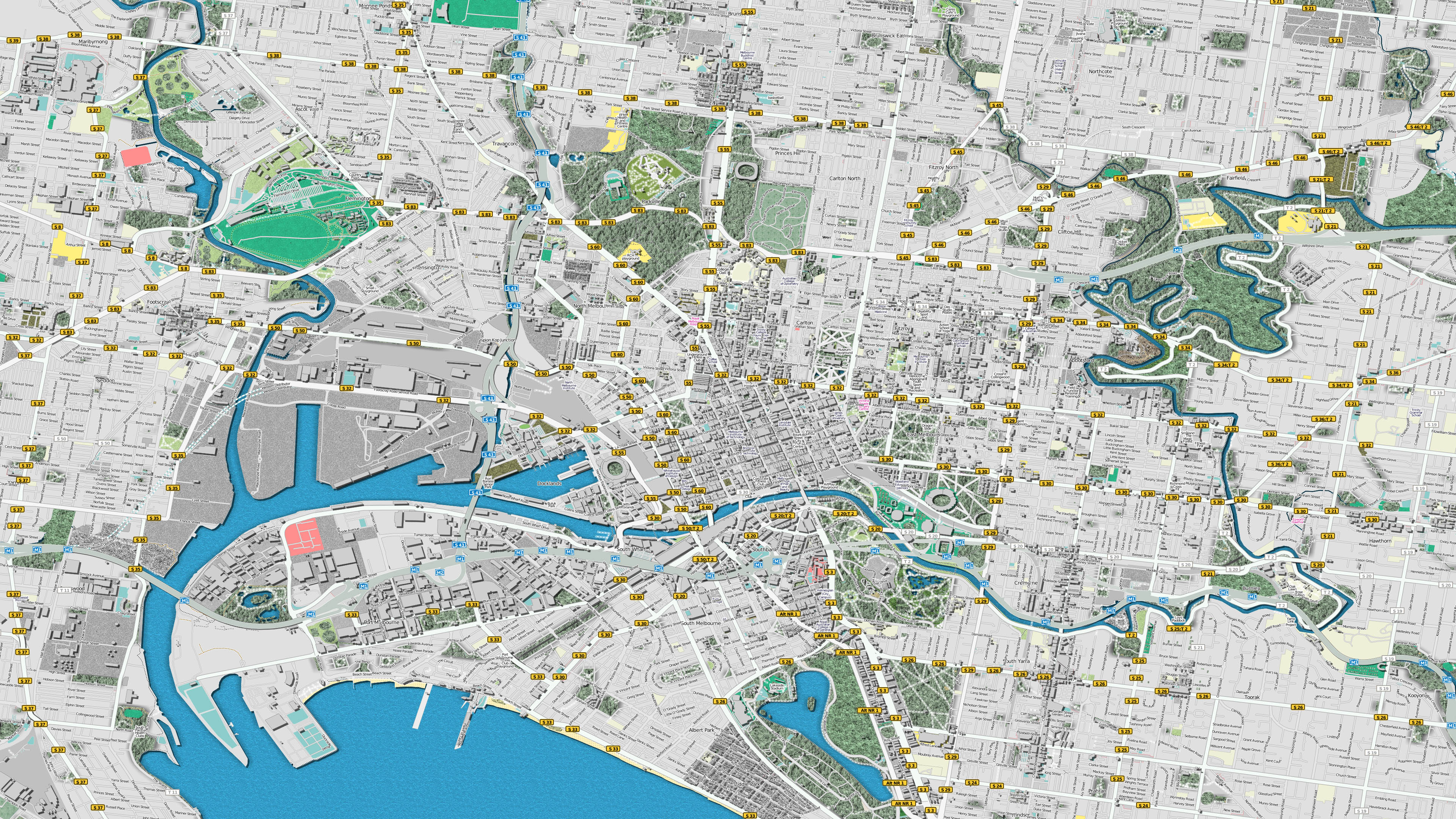
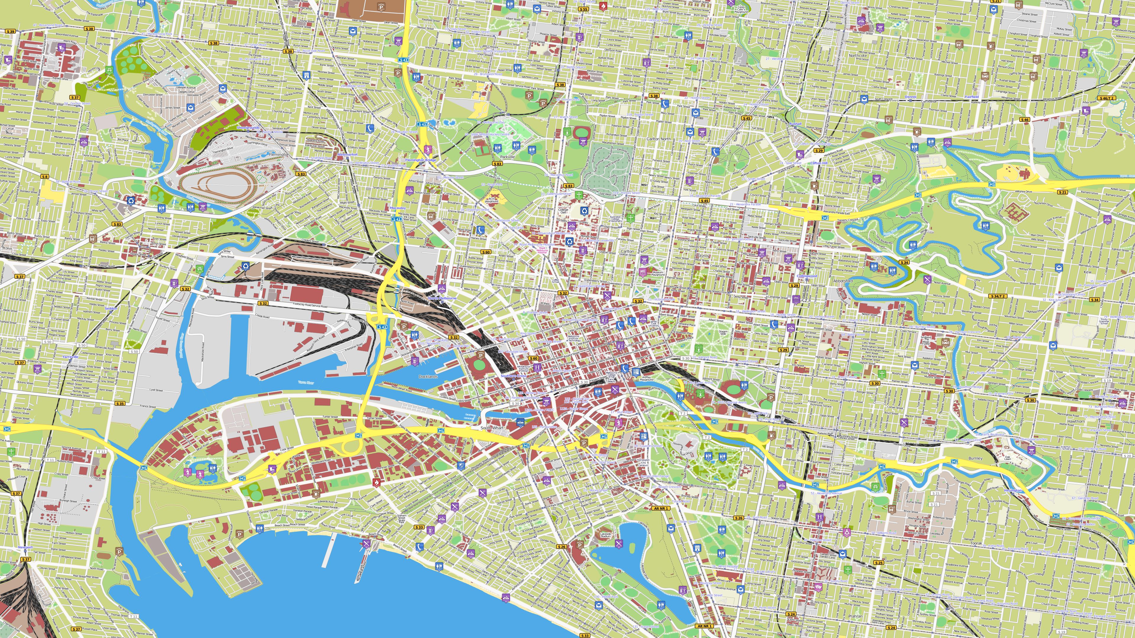
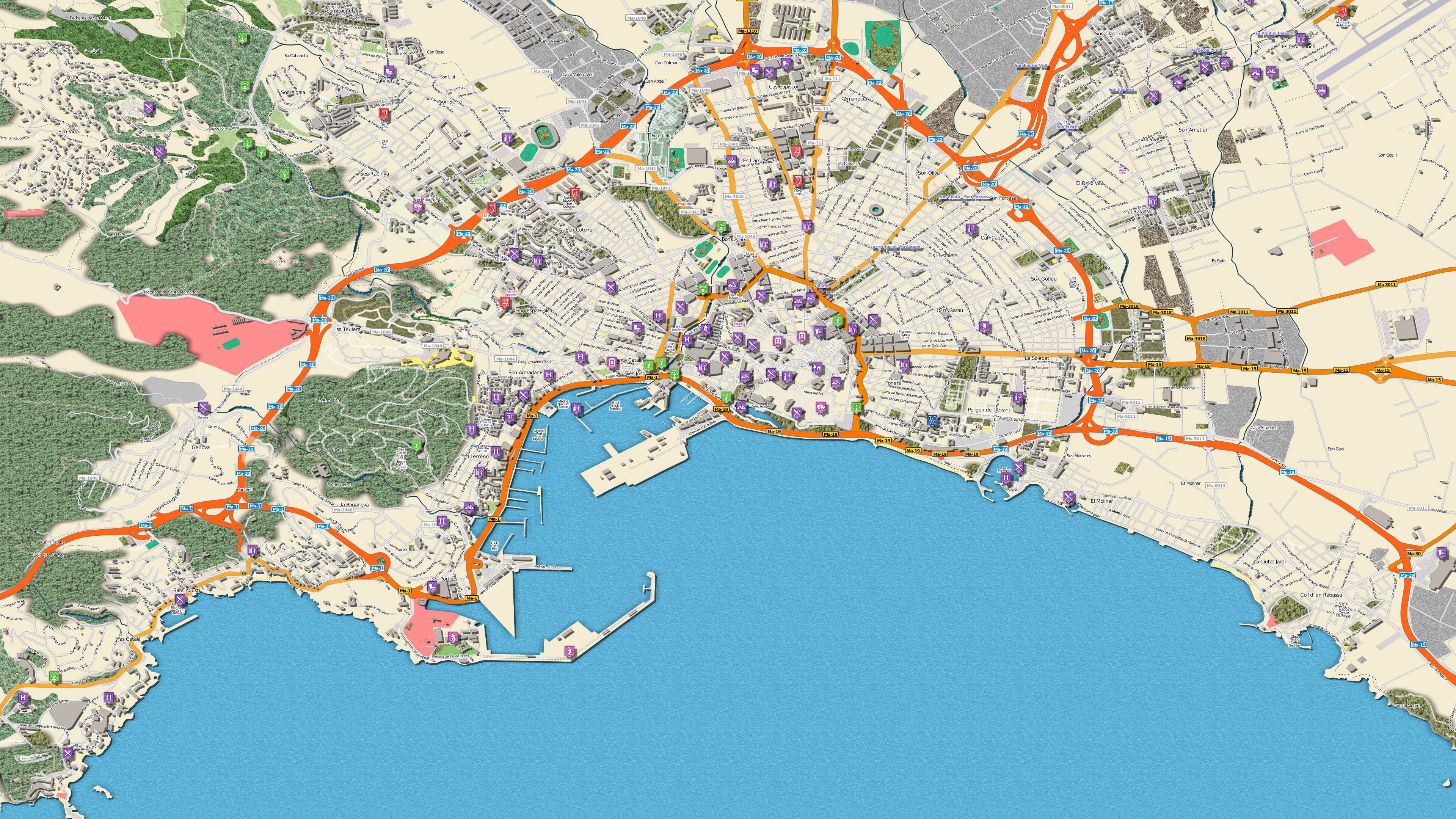
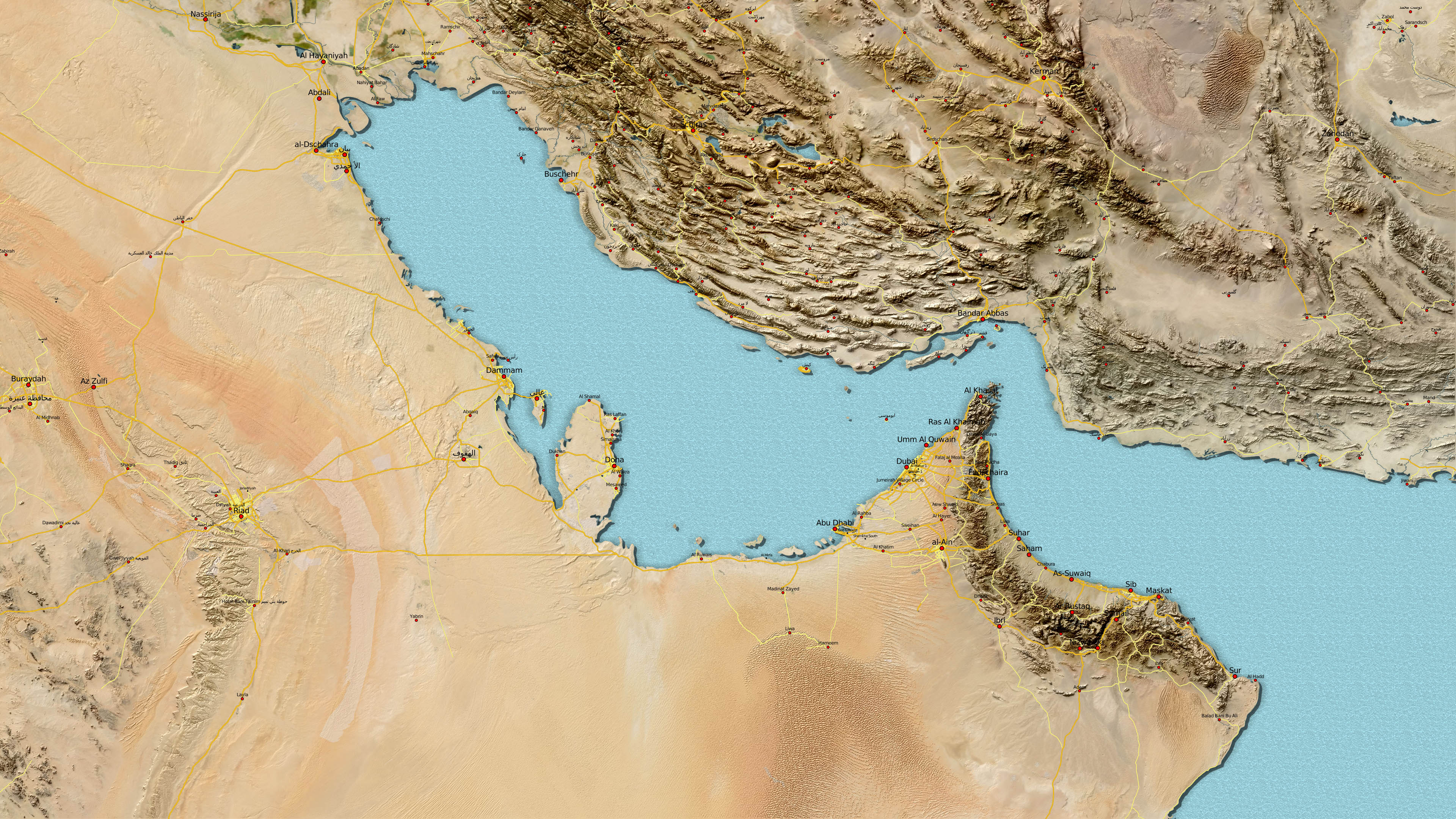
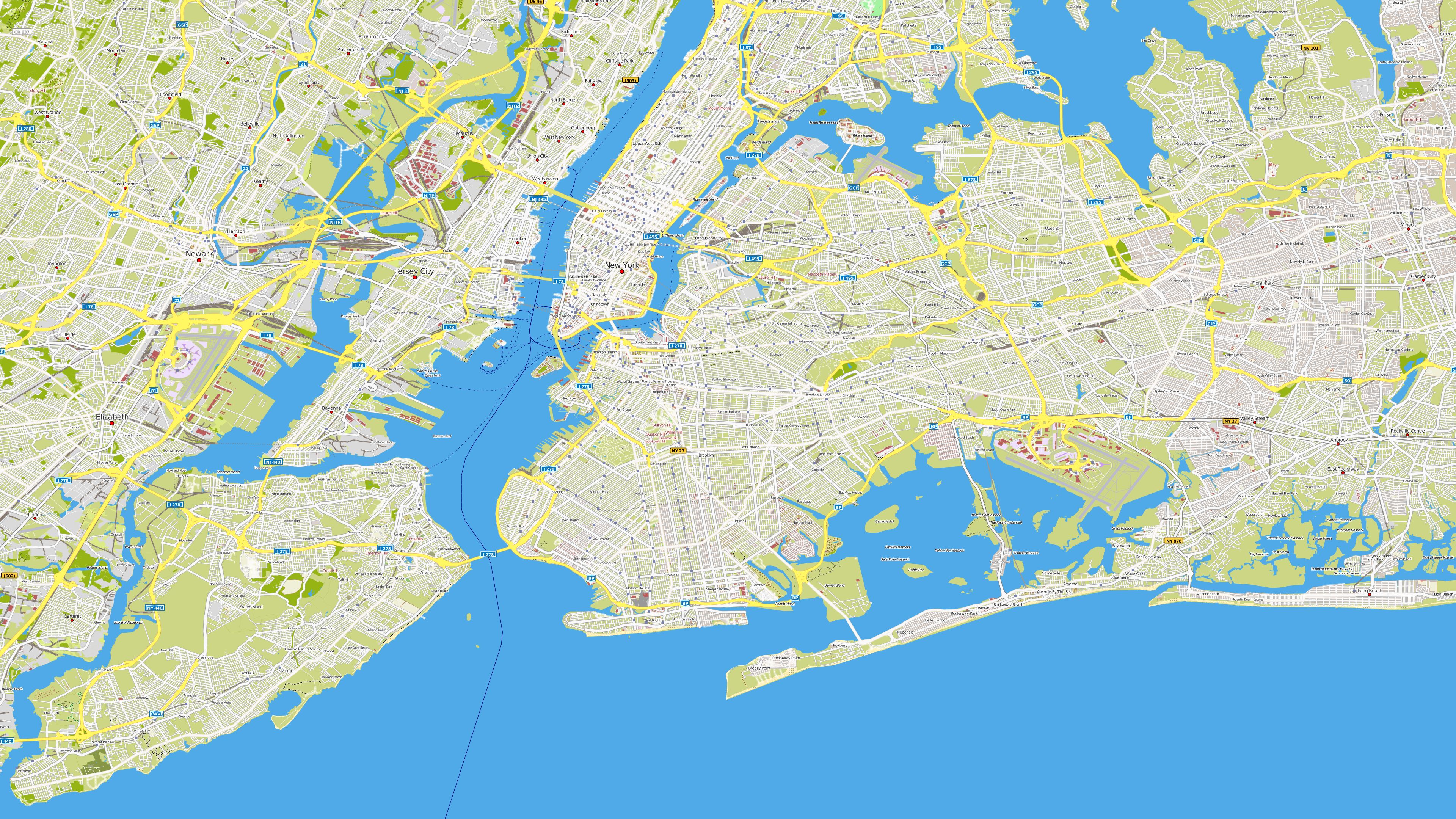
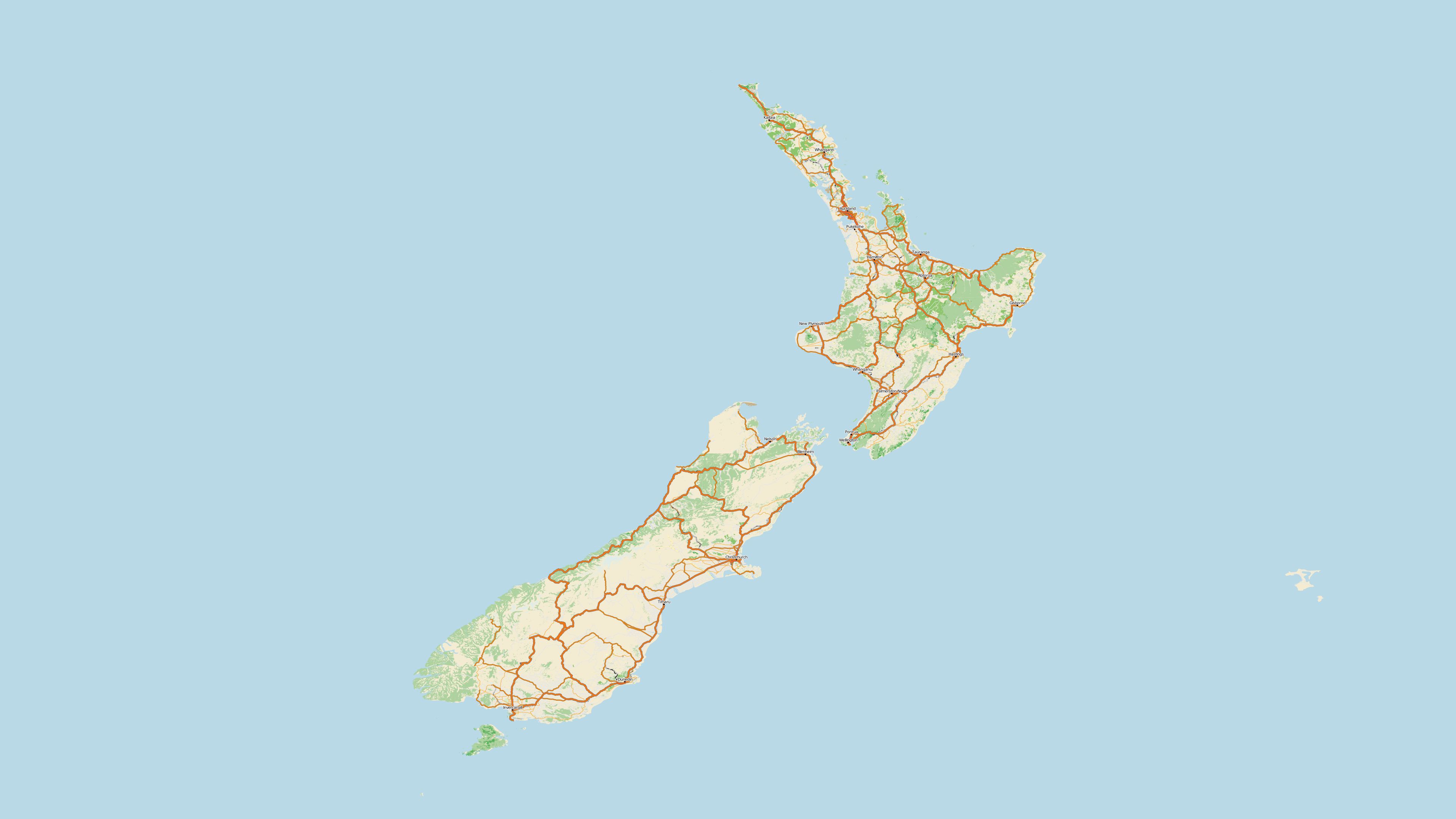
Several data sources can be combined to create expressive maps. These examples show different combinations and vivid landscape reliefs.
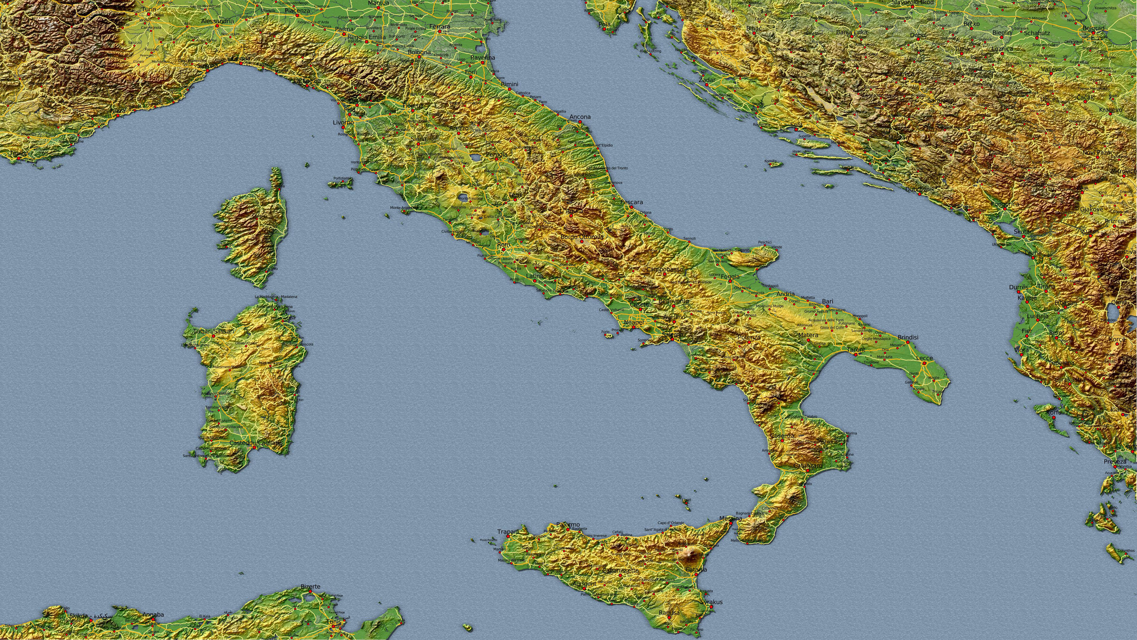
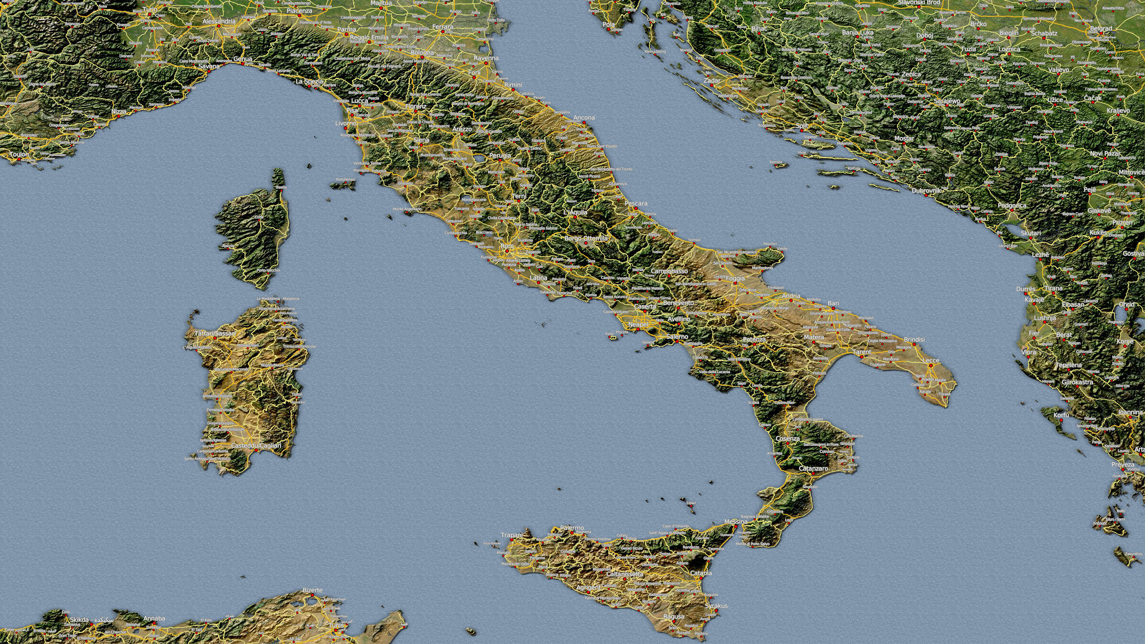
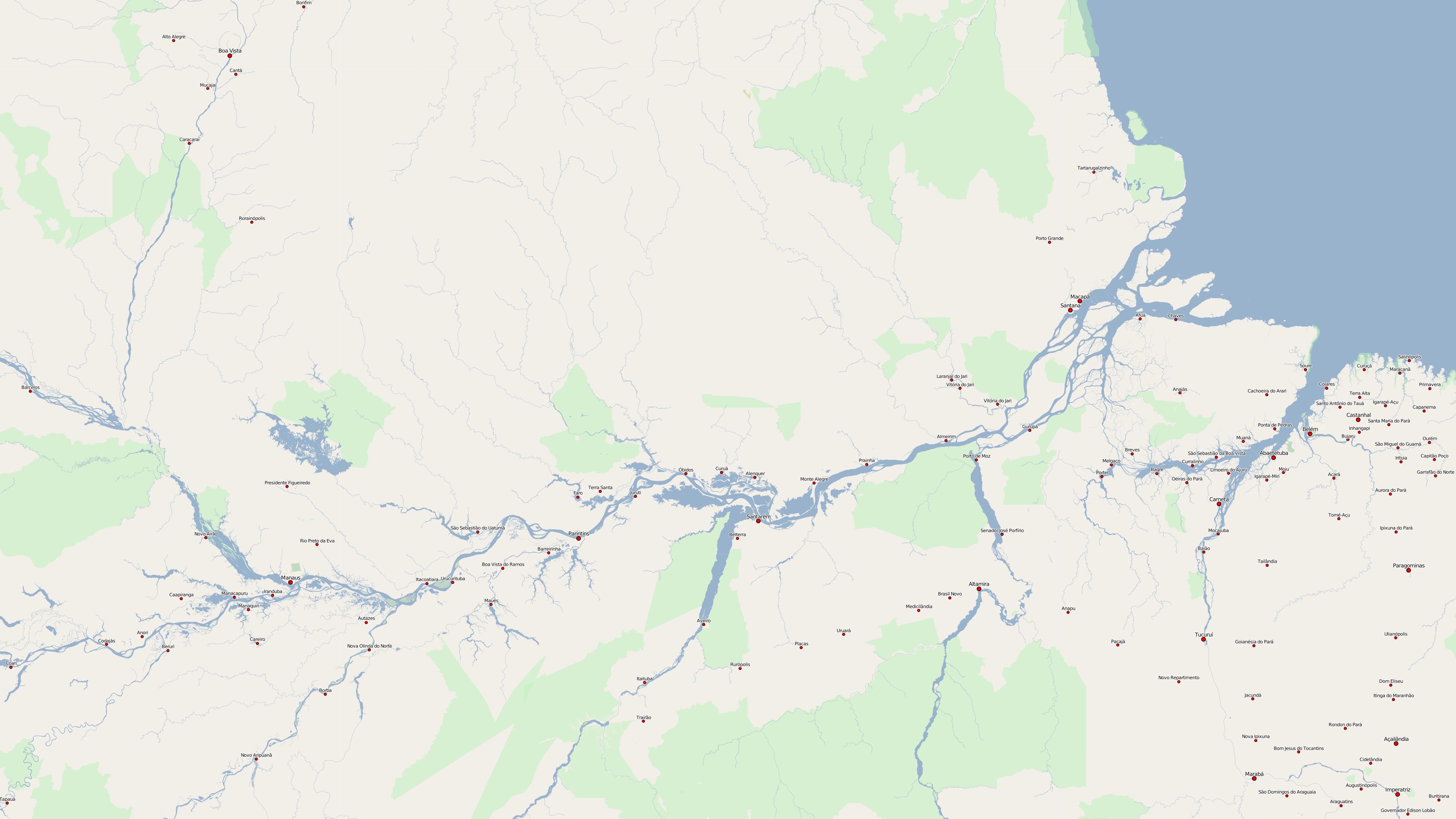
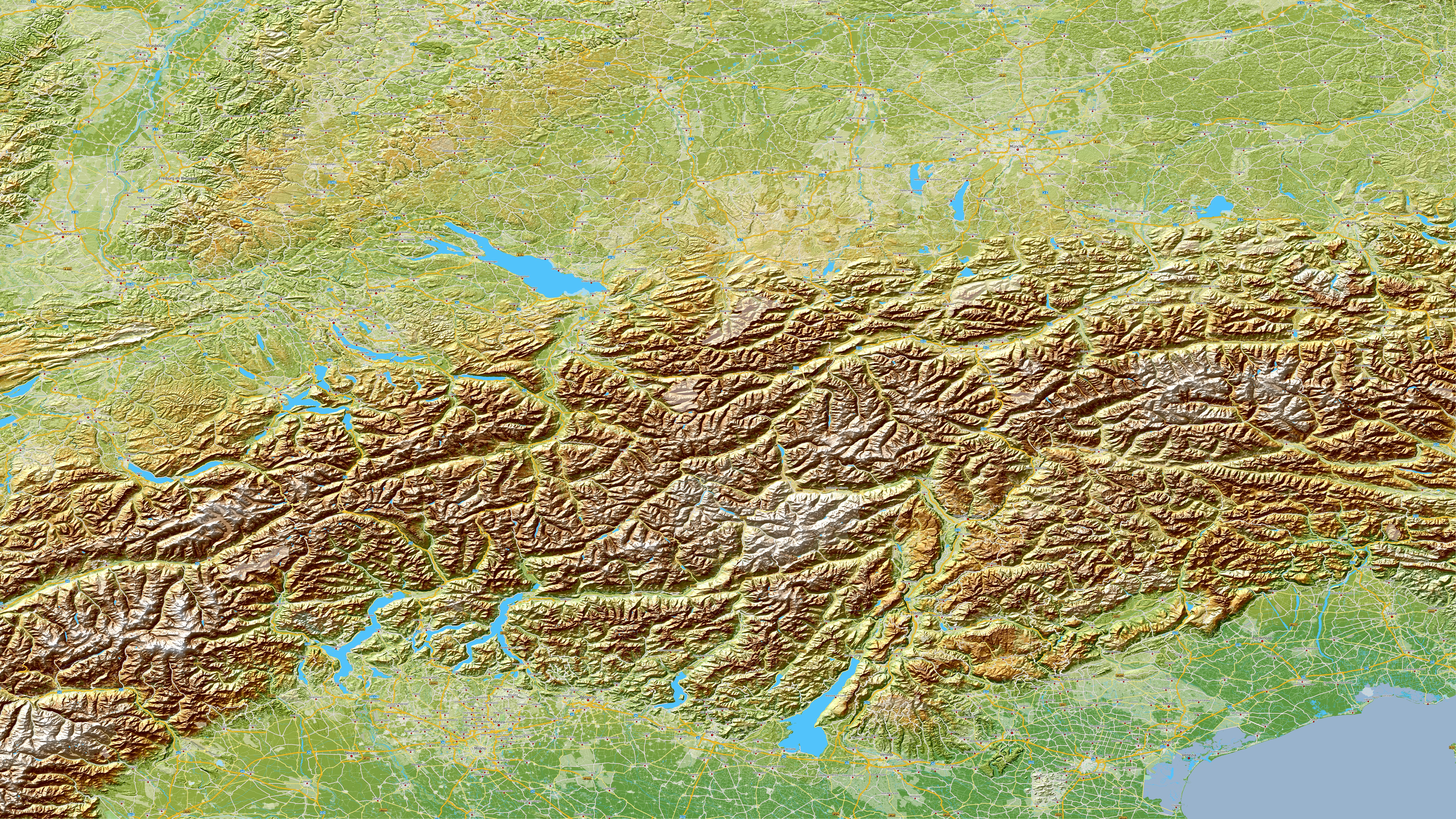
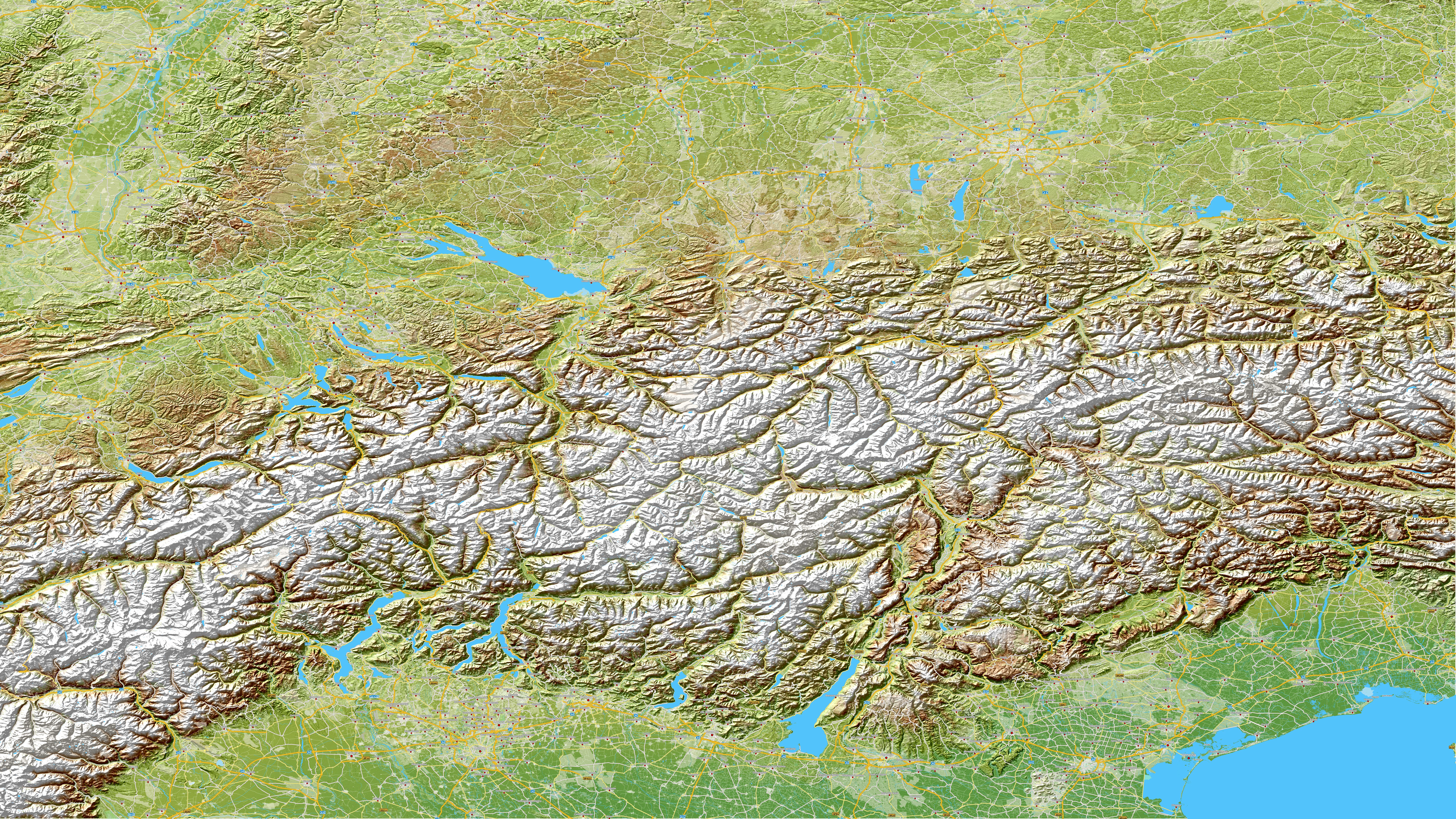
A different font, language or colour scheme can noticeably change the character of a map. Compare a range of design styles.

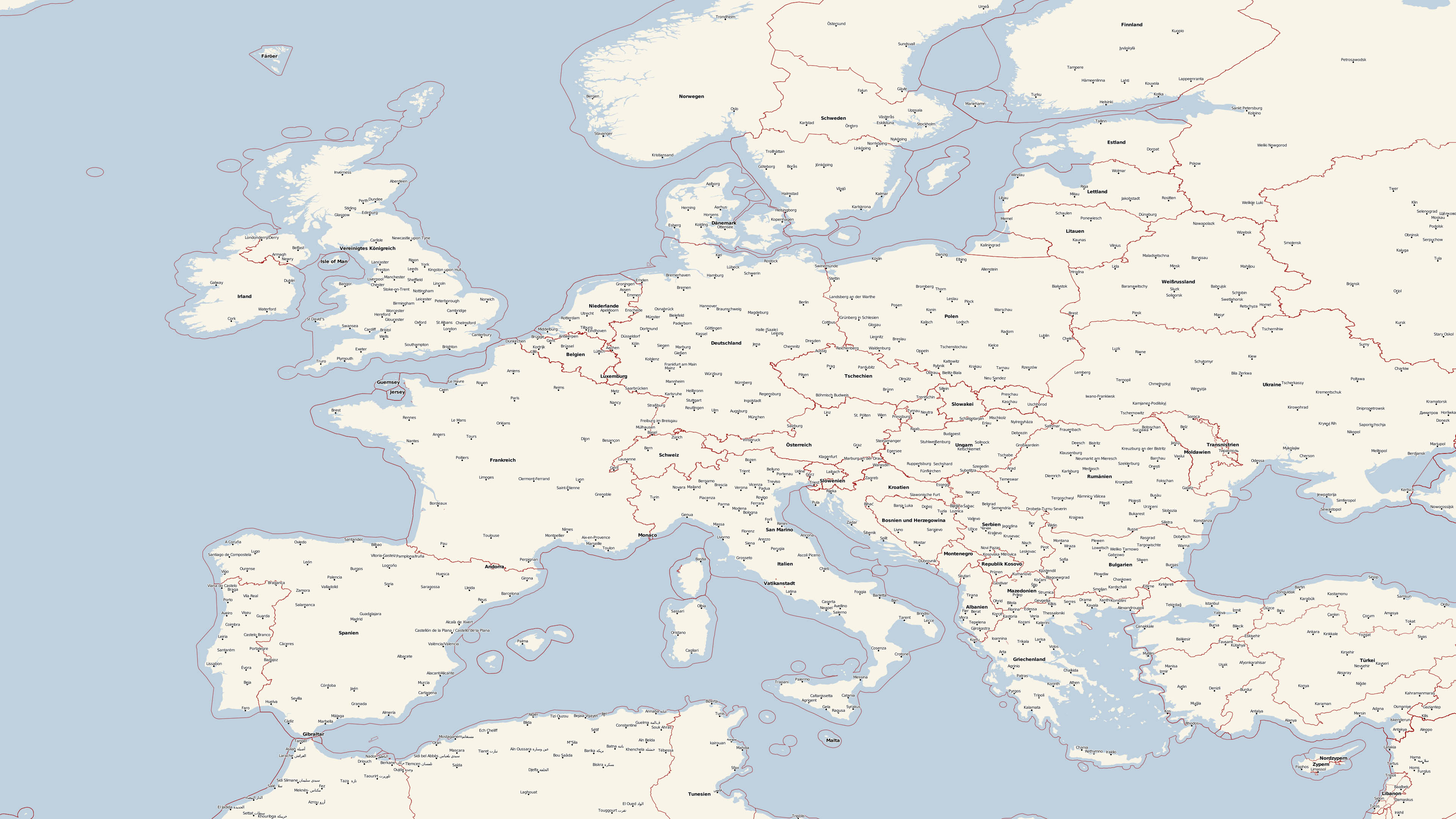
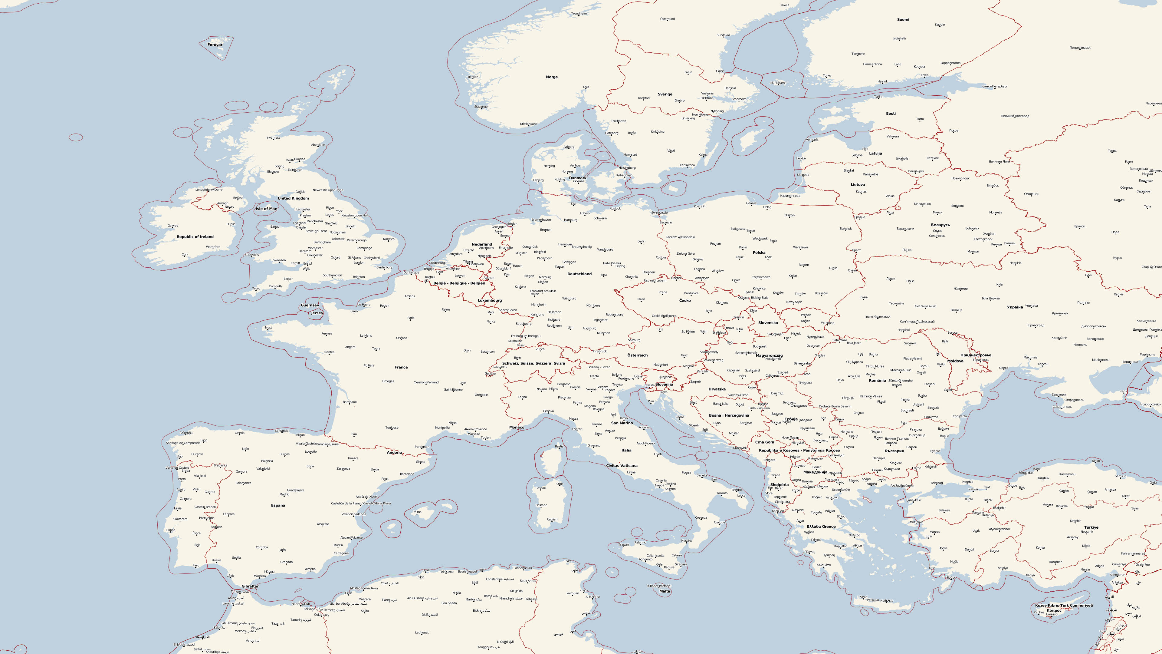
To ensure reliable editing even with extensive map projects, your computer should meet the following requirements.
Microsoft® Windows® 7, 8, 10 or Windows 11.
1,200 MHz or higher. A modern multi-core processor is recommended for large map projects.
Sufficient memory supports smooth editing of large and detailed maps.
This storage space is required for the complete program installation, including the extensive map data.
A higher resolution provides more room for the map, tools and settings.
Vasco StreetMaps automatically uses supported processor features and multiple processor cores. No special setup is required.
Our recommendation: If possible, install the map data on a fast SSD. The program and data may be located on different internal or external drives. When using an external drive, its drive letter should remain unchanged.
Choose the delivery method that best suits your computer and Internet connection.
No Blu-ray drive is required to install the download version.
A Blu-ray drive is required to install the supplied Blu-ray discs.