|
|
 
| |||||||||||||||||||||||||||||
|
|
 | |||||||||||||||||||||||||||||
 |
 | |||||||||||||||||||||||||||||
No problem, just change the color profile settings for the altitude data and you can create beautiful snowy landscapes in your mountainous region. You can customize the color profile to represent the specific character of each region.
| ||||||||||||||||||||||||||||||


 |
 |
 |
  |
||
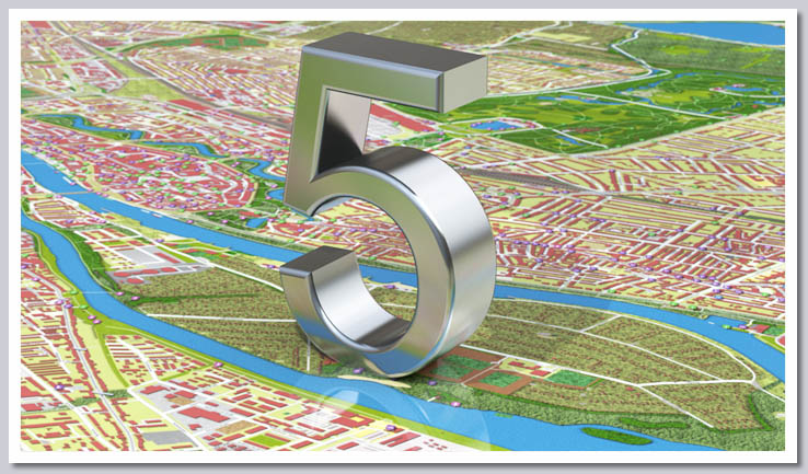
Combine satellite, altitude and vector data to create one-of-a-kind, aesthetically pleasing maps. Either keep them simple or combine elevation data to create a relief map. Or add a satellite map to create a map for every area that will astound your friends and family.
 Stand-Alone Version
Whether for the office, at home or on the go – Vasco StreetMaps 5 lets you create your own maps for all sorts of uses. How about jazzing up your vacation movies? Use the map materials to incorporate into your videos. Depending on the map sets you choose, you can show the streets you walked in Rome in clear detail or show your big trip around the globe from a bird's eye perspective.
Create your own maps to share secret tips from your home town with your guests. The large icon allows sights and restaurants to be displayed especially beautifully on your map. That way everyone will find what they're looking for. For example, you can mark your own hiking or biking trails and share them with friends in no time.
Ideal Add-On for Vasco da Gama
Sketch out your travels at the highest level of precision using Vasco StreetMaps 4 maps and Vasco da Gama travel planning software. These unique and precise map materials will give you great pleasure as you illustrate your itineraries and travel plans. This is the ideal professional supplement for Vasco da Gama to ensure that your animations are very high quality.
Highlights at a Glance
- New image effects: customizable glow effects and shadows make maps look even more natural.
- Integration of textures: use textures in the color of your choice to represent vegetation and substrates in detail.
- Now even more details! Rivers, roads, bridle paths, etc. can be separately displayed or hidden as desired.
- Spectacular maps! We have combined satellite, vector and elevation data for impressive results.
- Even more options: decide whether to show street names, neighborhoods, etc.
- New home screen where you decide whether you want to create a new project, load the last project, or work on another existing project.
- The GPS database has been significantly expanded and now includes more than 220,000 places, up from the previous 80,000.
- Includes approx. 123 GB of vector data, 75 GB of elevation data, and 7 GB of satellite maps.
- Create plastic relief maps using elevation data. Set the intensity of the relief map as you wish.
- Set the color and transparency for each category (grassland, land, roads, etc.).
- Text input fields have been revised.
- Integrated satellite maps have been completely revised, so that no more color fringing can occur with islands.
- New color design of the user interface of Vasco StreetMaps, now corresponding to the look of Vasco da Gama 9.
- Height data was revised.
- Exact, incremental representation of the progress bar during the creation of maps.
- Every map you create can be used for private and commercial purposes.
- The latest map data updated October 2015
Vasco StreetMaps Ultimate Collection |
Vasco StreetMaps Europe |
 |
 |
Vasco StreetMaps America |
Vasco StreetMaps Asia |
 |
 |
Vasco StreetMaps Africa, Australia, Oceania |
|
 |
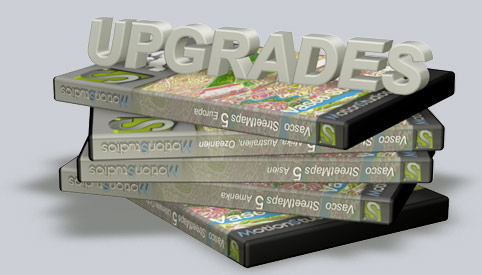
Vasco StreetMaps 5 as an upgrade version:
The upgrade is available to all owners of older Vasco StreetMaps packages and applies to the current version.
For example, an old "Vasco StreetMaps Europe" package is compatible with the "Vasco StreetMaps 5 - Europe"
Until next time. Ingo Kleefeld MotionStudios eMail: info@motionstudios.de |
Follow: |
Informations about MotionStudios: All prices include 19% tax plus shipping costs. Mistakes, changes and misprints reserve. If you don't want more information anymore then send us a email to newsletter@motionstudios.de with your eMail-adress and subject "UNSUBSCRIBE". |