


Vasco da Gama
Animierte Reiserouten professionell erstellen
Gestalten Sie Ihre Reiserouten-Animation nach individuellen Kriterien und verwenden Sie die Möglichkeit zahlreicher und vielseitiger Effekte!
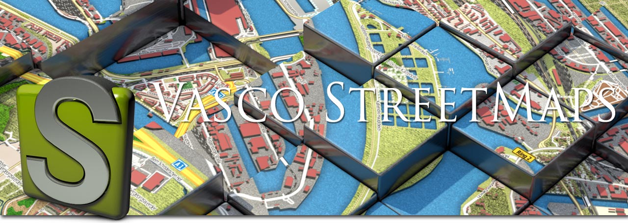
Vasco StreetMaps
Vasco StreetMaps - einfach schöne Karten
Individuelles Kartendesign auf die Spitze getrieben. "Einfach schöne Karten", der Name ist Programm. Nie war es so einfach, individuelle Karten mit einem so hohen Detailgrad nach Ihren Wünschen zu erstellen.
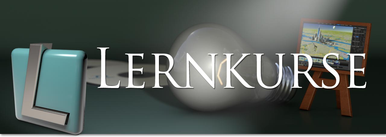
Lernkurse
Spielend den Umgang mit Vasco da Gama erlernen
Anhand von vielen Beispielvideos wird Ihnen auf einfachste Weise gezeigt wie Sie schnell und unkomplizert Ihre Route gestalten.
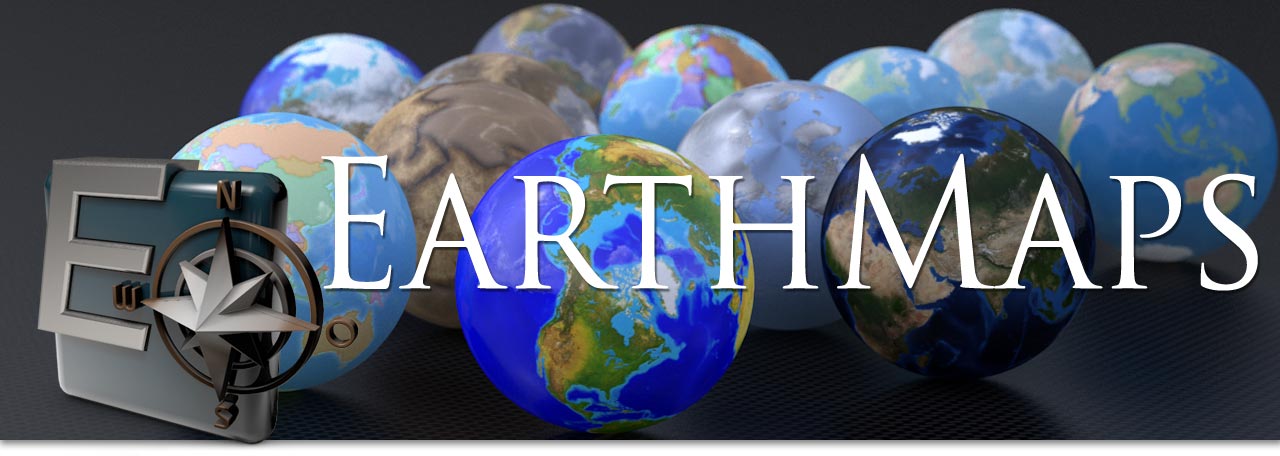
EarthMaps
Ultimative Erdkartensammlungen
Für Abenteurer, Globetrotter und Ästheten: Hochwertige Earth Maps Pakete mit jeweils 4 Erdkarten.
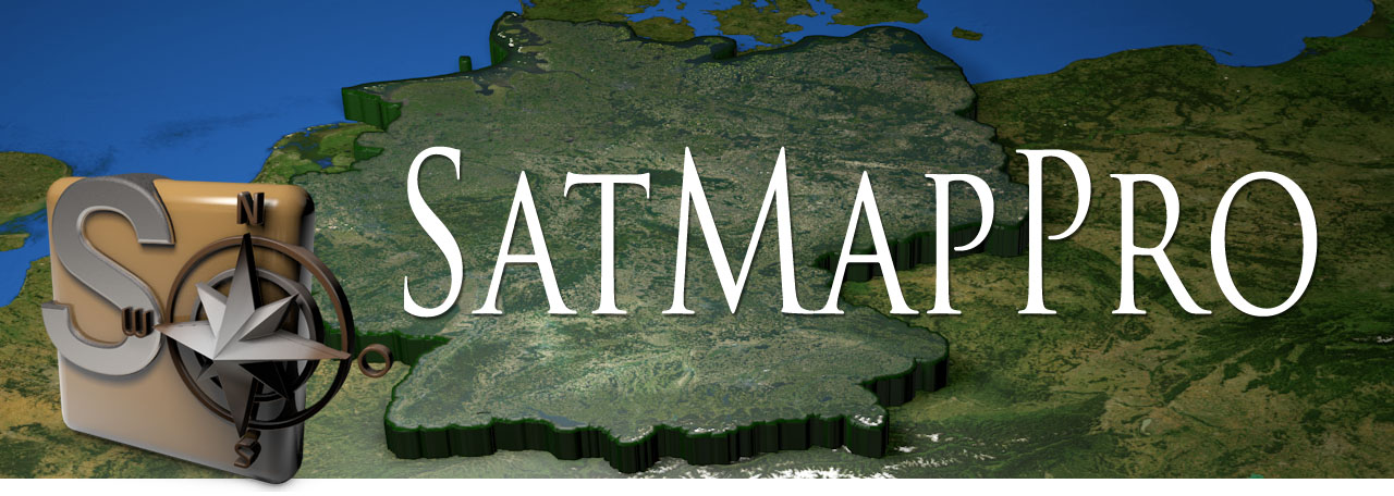
SatMapPro
Detaillierte Satellitenkarten
Ideale Ergänzung für Vasco da Gama, um spektakuläre Routenanimationen zu erzeugen.
Objektpakete
Qualitativ hochwertige 3D-Objekte
Die Objektpakete sind die optimale Ergänzung für Vasco da Gama. Die 3D Modelle, beispielsweise Sehenswürdigkeiten, Wildtiere, Schiffe oder Flugzeuglinien, sind detailliert texturiert und lassen Ihre Animationen noch professioneller aussehen.